
North Routt: Buck Mtn
- Posted on
Weather Forecast
Clouds and winds increase today as southwest flow strengthens ahead of our next storm. This storm is currently moving through California. It will speed up on its track to the east bringing snowfall to Colorado this evening and into Saturday. A six to eight hour period of moderate to heavy snowfall begins for the San Juan Mountains around sunset.
Snow spreads quickly north to the Elk and Sawatch Mountains overnight and then to the Northern Mountains on Saturday as winds veer to west-northwest. The strongest winds during the storm are out of the southwest before midnight tonight. Calmer winds follow for early tomorrow before winds increase again, especially for the Front Range as the low-pressure trough exits. Temperatures start mild with freezing levels near 9000 feet but they drop quickly as soon as precipitation starts this evening.
The storm clears the area overnight on Saturday with sunny skies expected statewide on Sunday and into Monday. Another low-pressure trough moves towards Colorado on Tuesday. This mid- to late-week storm looks to produce widespread snowfall for several days across the state.
Low: 15F | High: 30F
Wind: 10-22MPH SW
Sky: Mostly cloudy
Snow: NO
Avalanche Danger
Small to Large Persistent Slab NW-SE Possible across All Elev
For the last 72 hours winds were calm. That changed overnight. Winds started ramping up yesterday evening and are forecast at 10 to 20 mph today from the west-southwest with stronger gusts especially in the Front Range. In most of the Northern Mountains there is at least 6 inches of snow sitting on windward slopes just waiting to be transported. Thick slabs of snow will form on leeward slopes. With the new loading, natural avalanches are possible. They can break on a recent shallowly buried faceted layer or deeper ones that were buried in early December.
The increase in wind loading has increased the avalanche danger. There is some uncertainty as to if this loading today will lead to the forecast dangerous conditions. In the past when we have had snow sitting around for a few days without wind, and then a sudden bump in winds, we see natural avalanches. We will see if this pans out today. Use caution if you are traveling in wind-drifted areas and give slopes a wide berth if you see active loading. If the wind forecast doesn’t verify or less snow is drifted than forecast, you should still use caution as older wind-drifted slabs sit on buried weak layers in many exposed places.
Watch for fresh wind-drifted snow on steep slopes. This is where you are most likely to trigger a large avalanche. An avalanche that you trigger could break much deeper than this wind-deposited snow. Identify wind loaded slopes by the smooth and rounded look to the snow surface. These dangerous slopes are most often located directly below ridgetop. Cornice formation above the slope is another sign of previous or recent wind loading.
Don’t let your guard down as you drop down in elevation to sheltered areas. Steep slopes with more than a foot of recent snow should be carefully evaluated. Stick to lower-angle slopes if you observe obvious signs of instability such as shooting cracks or sounds of the snowpack collapsing.
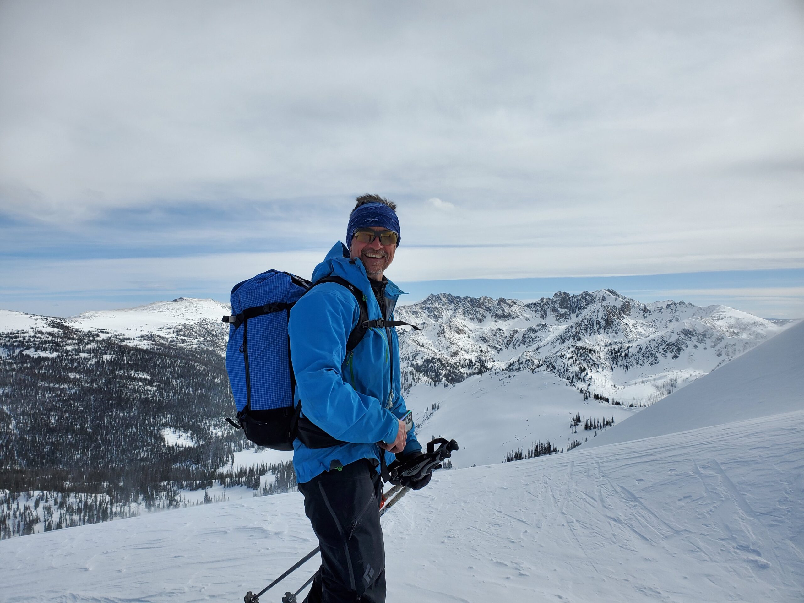
Ski Partners
Route
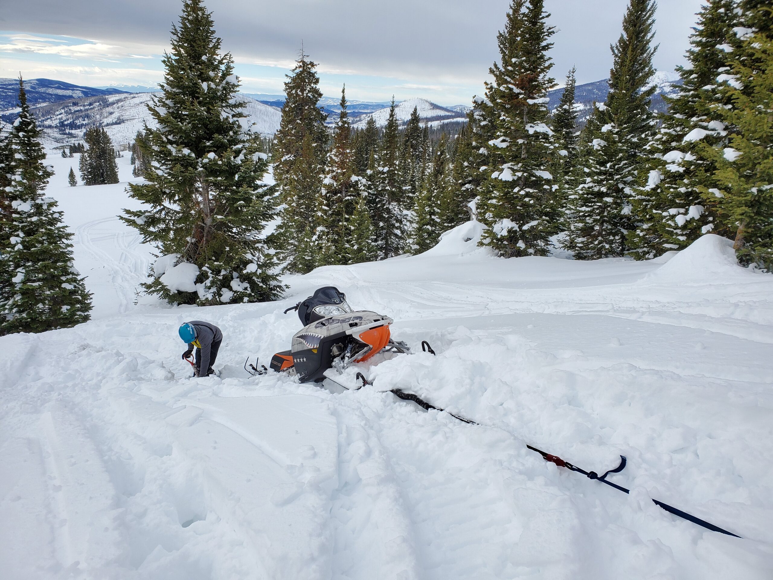
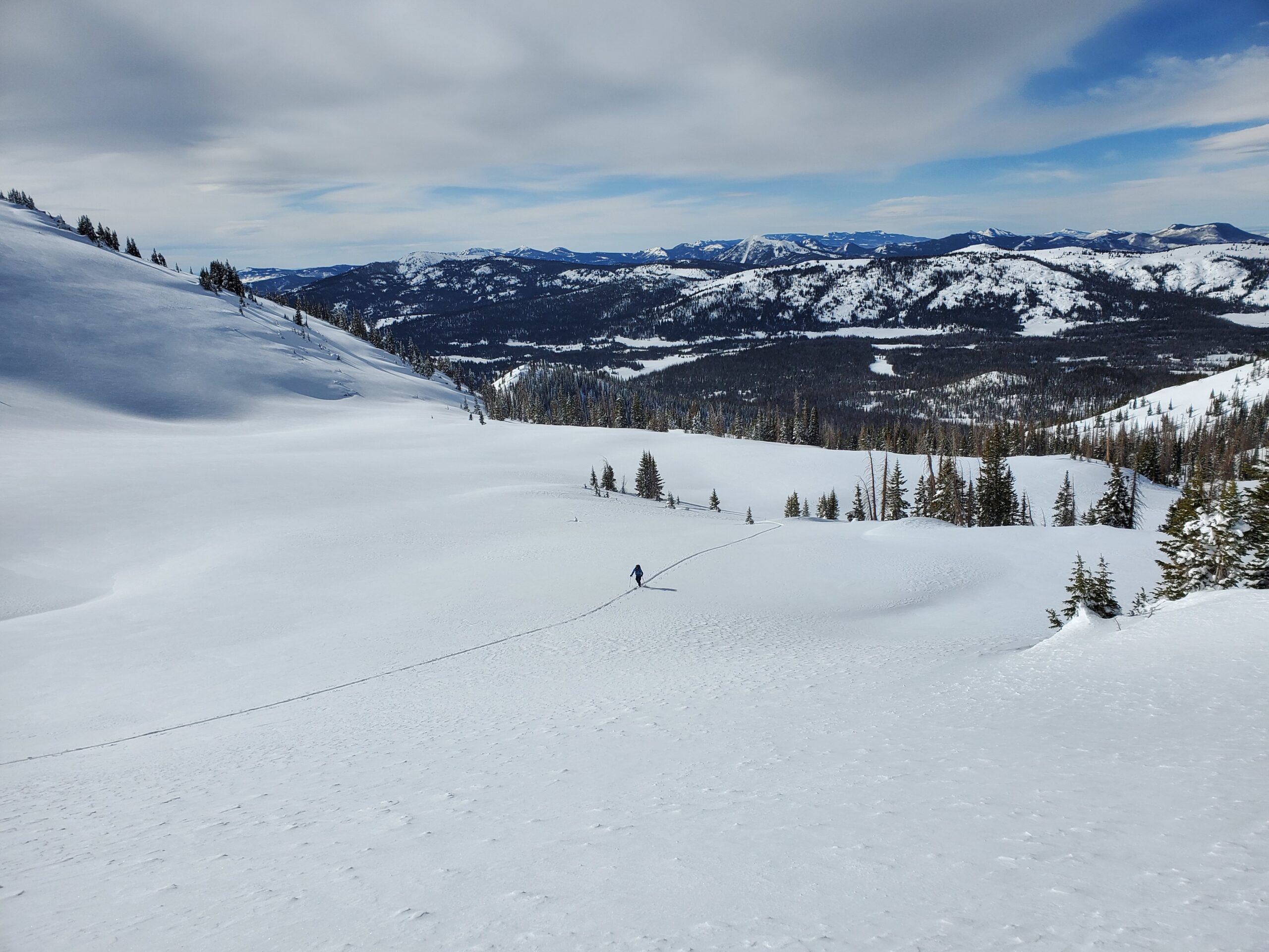
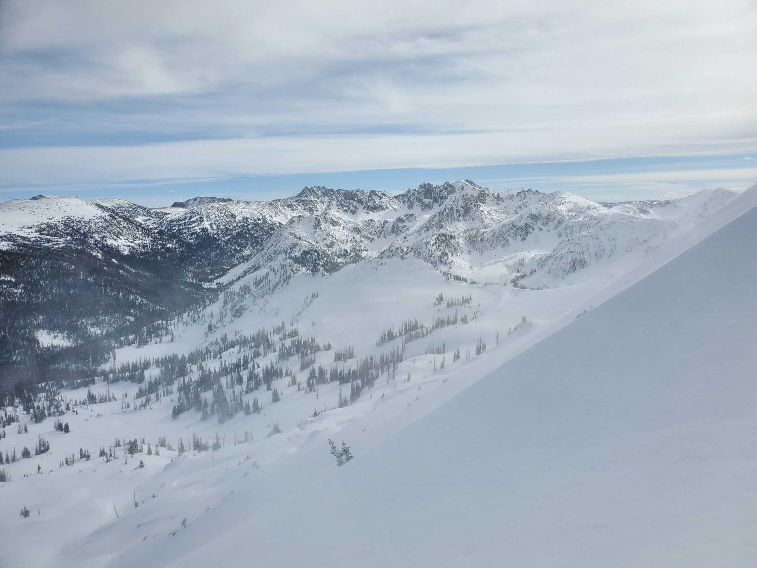
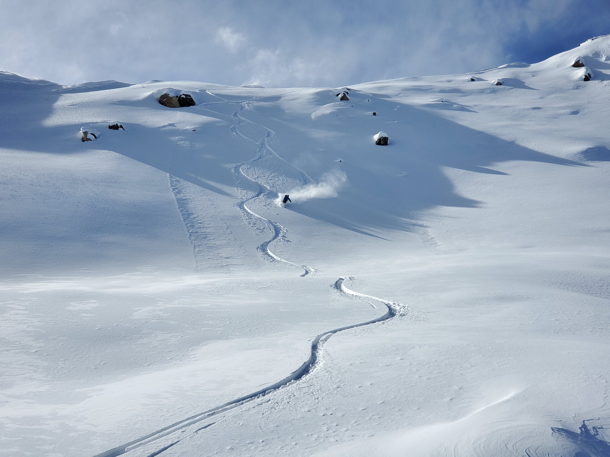
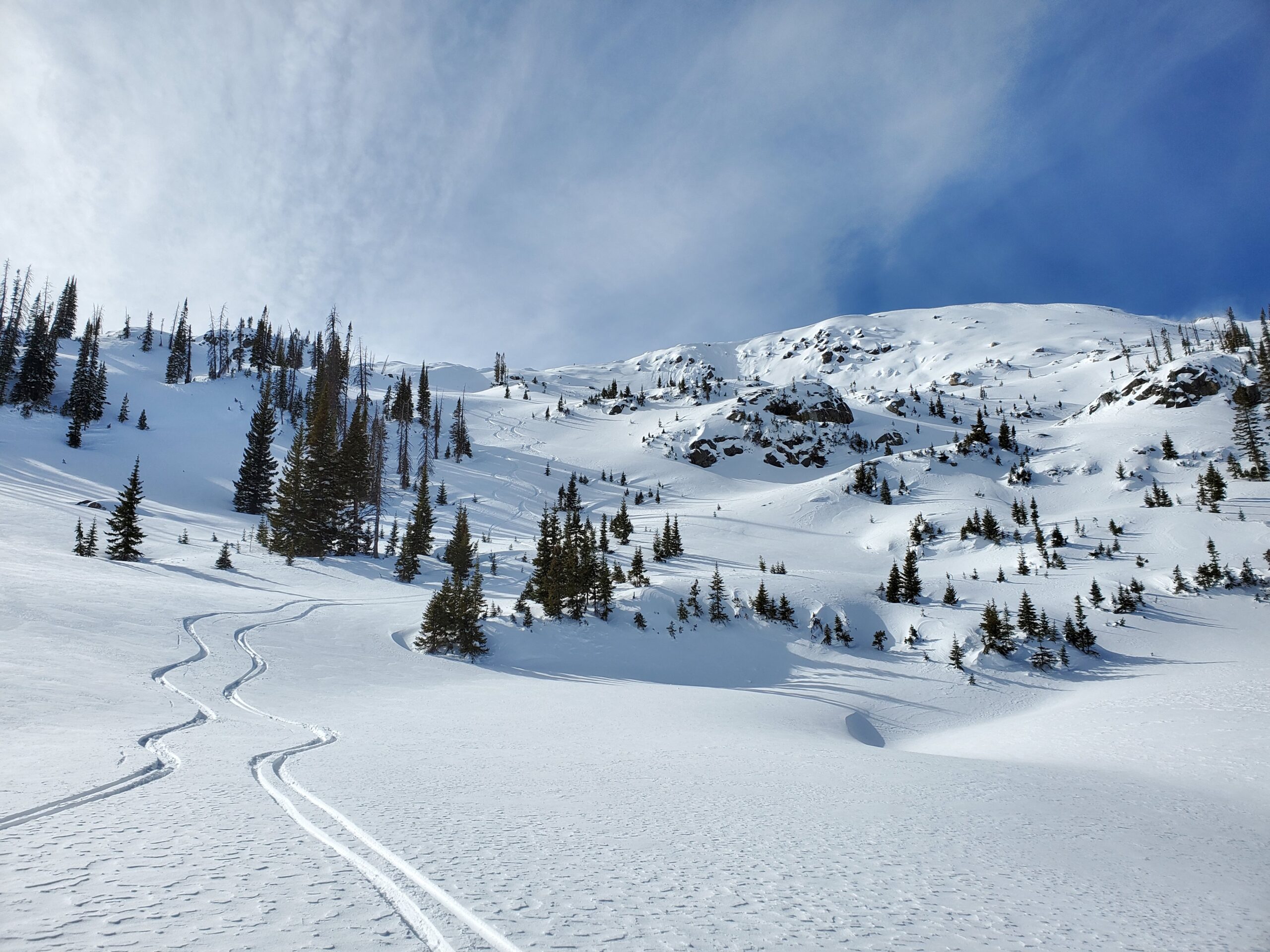
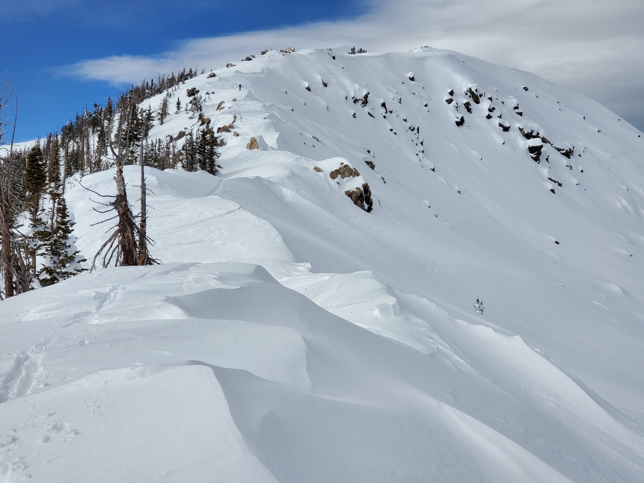
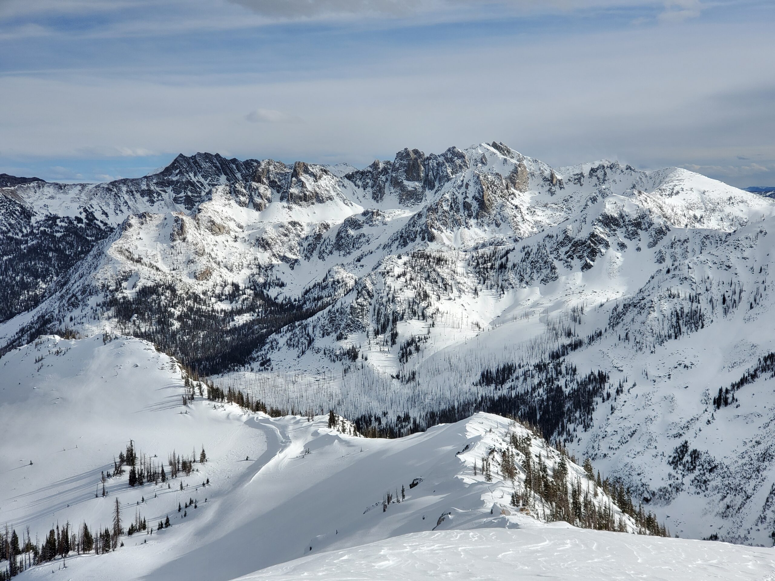
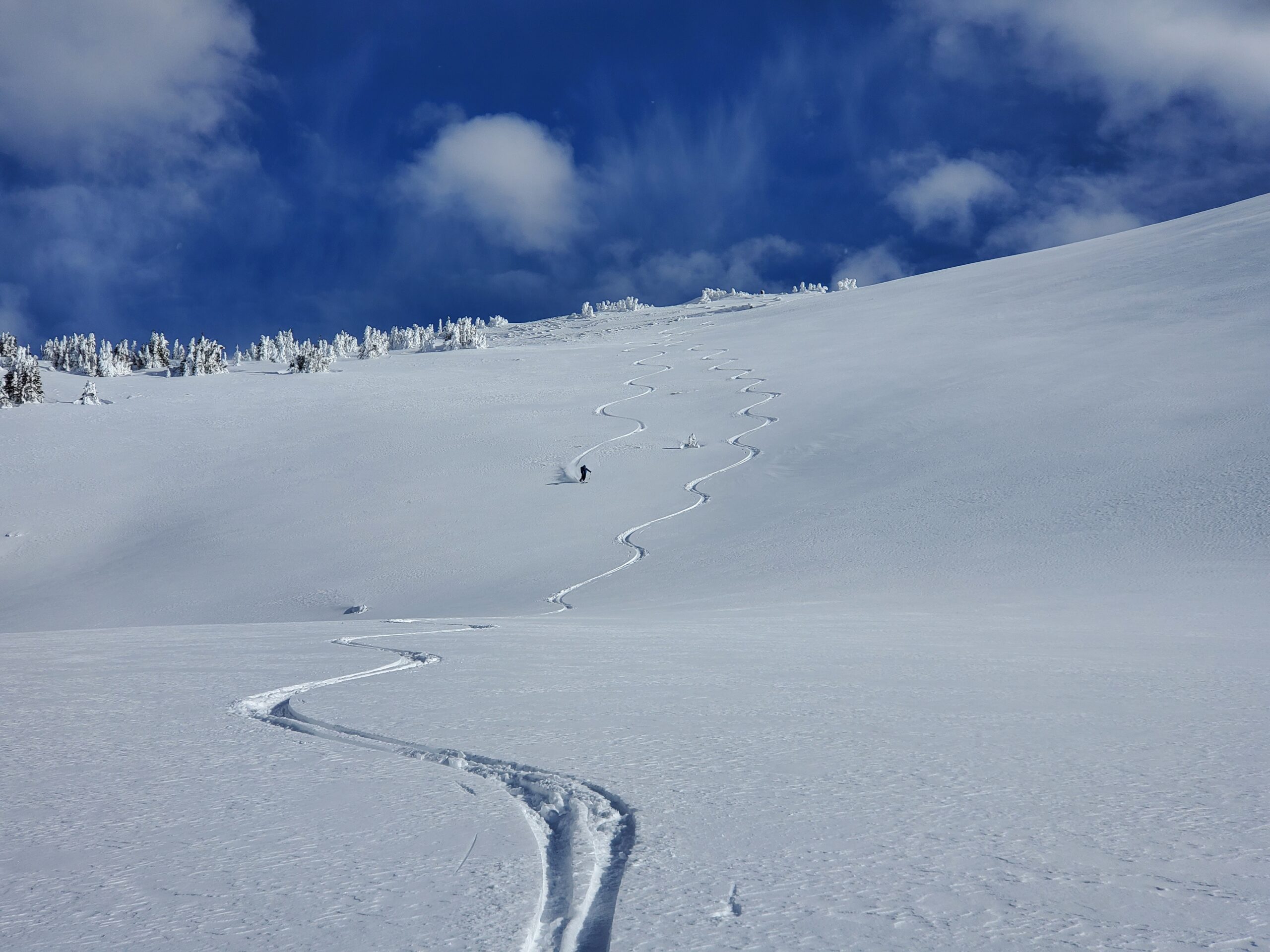
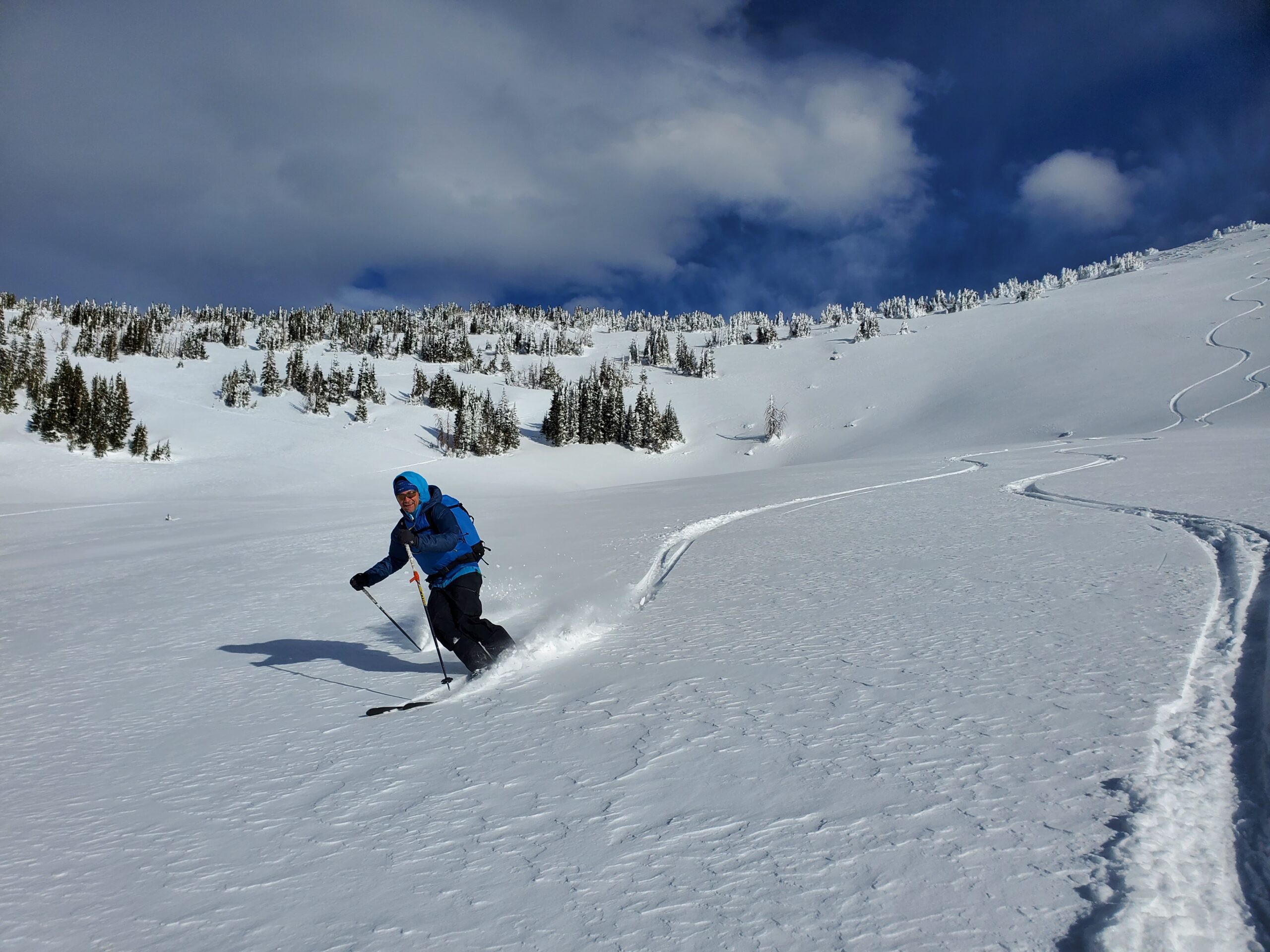
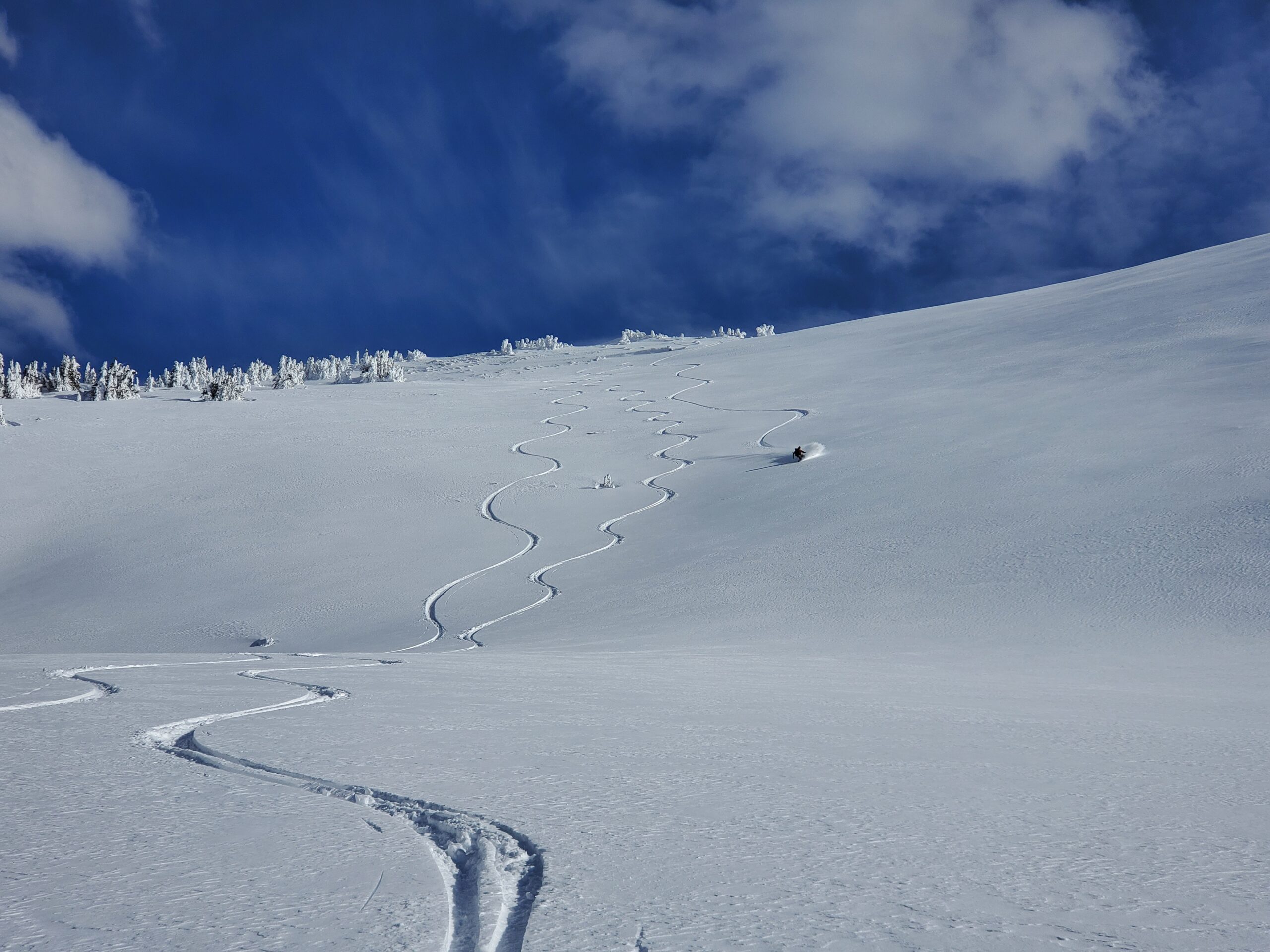
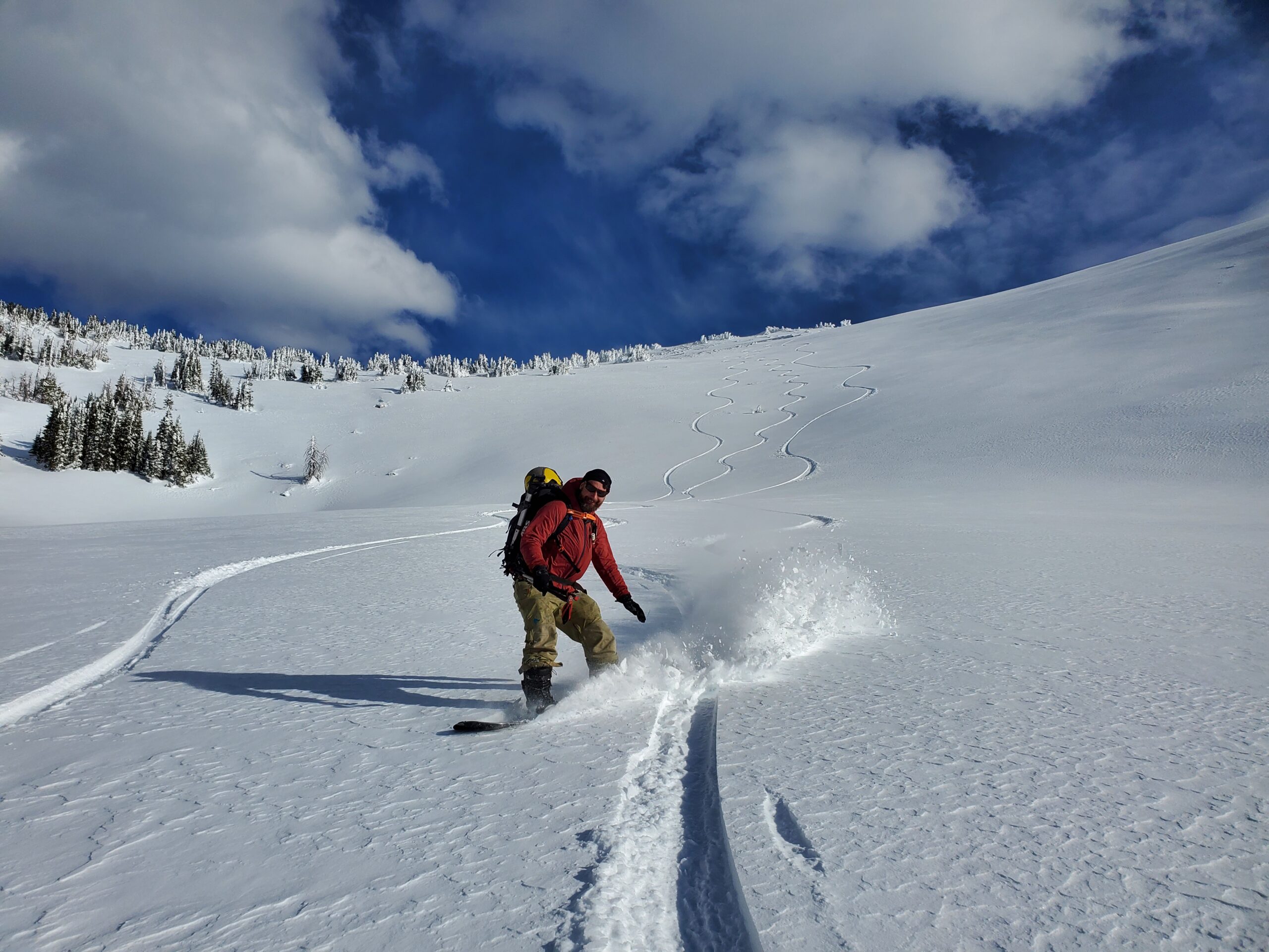
Snomo from Seedhouse parking to below the west ridge of Buck Mtn. Parked sleds at 9600ft and toured up west facing terrain to above to the summit ridge above treeline. Descended the east face into the Lake Diana area (11200-10500ft). Ascended out of the Lake Diana zone on north aspect, up the ridgeline, then down the west face the way we came.
Weather
AM: Mostly sunny skies, mod NW winds, temps in mid-twenties
PM: Party/mostly cloudy, strong SW ridgetop winds, slight drop in temps to low-twenties
HSN24
0"
HSN48
0"
Snowpack Observations
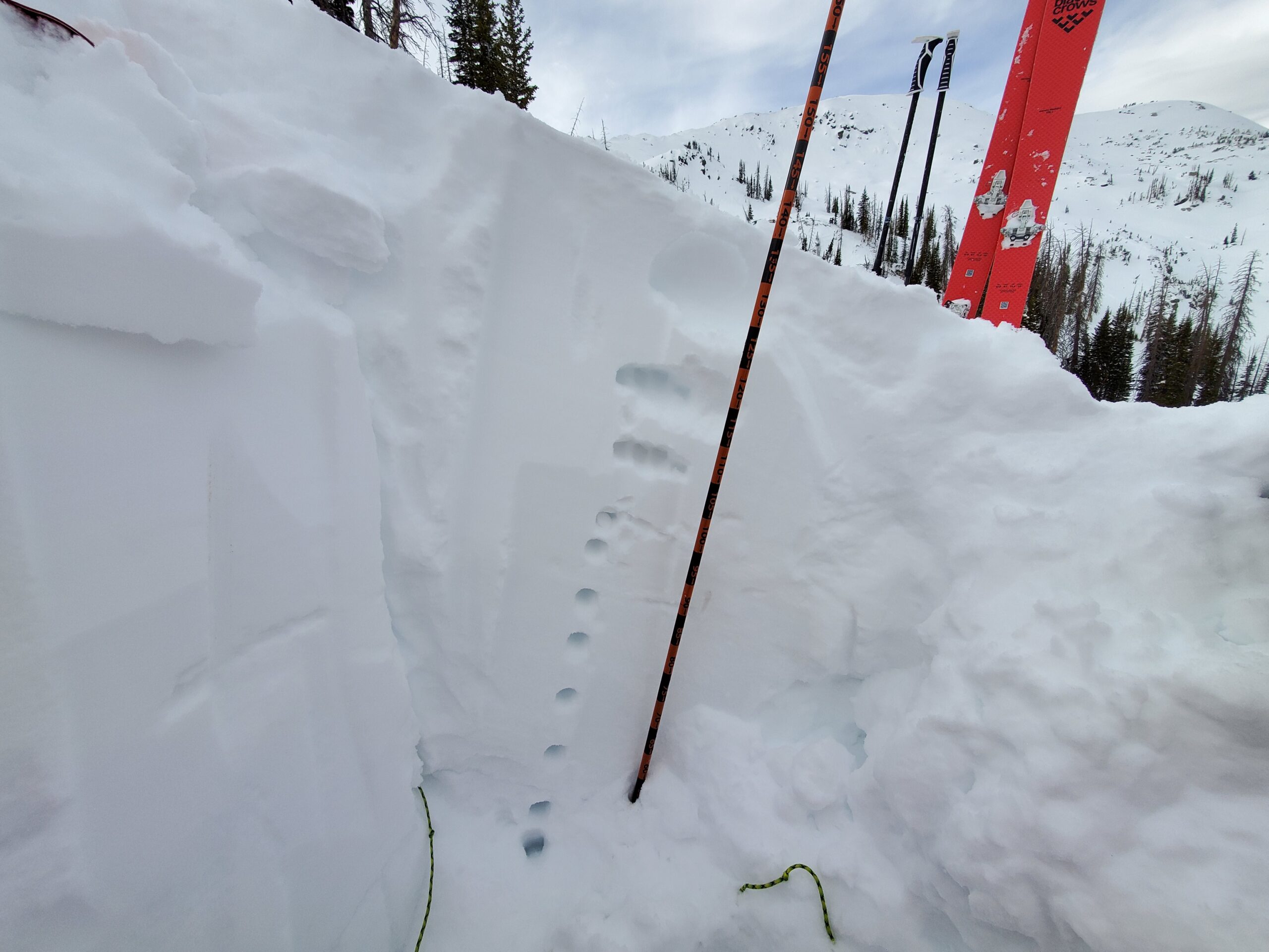
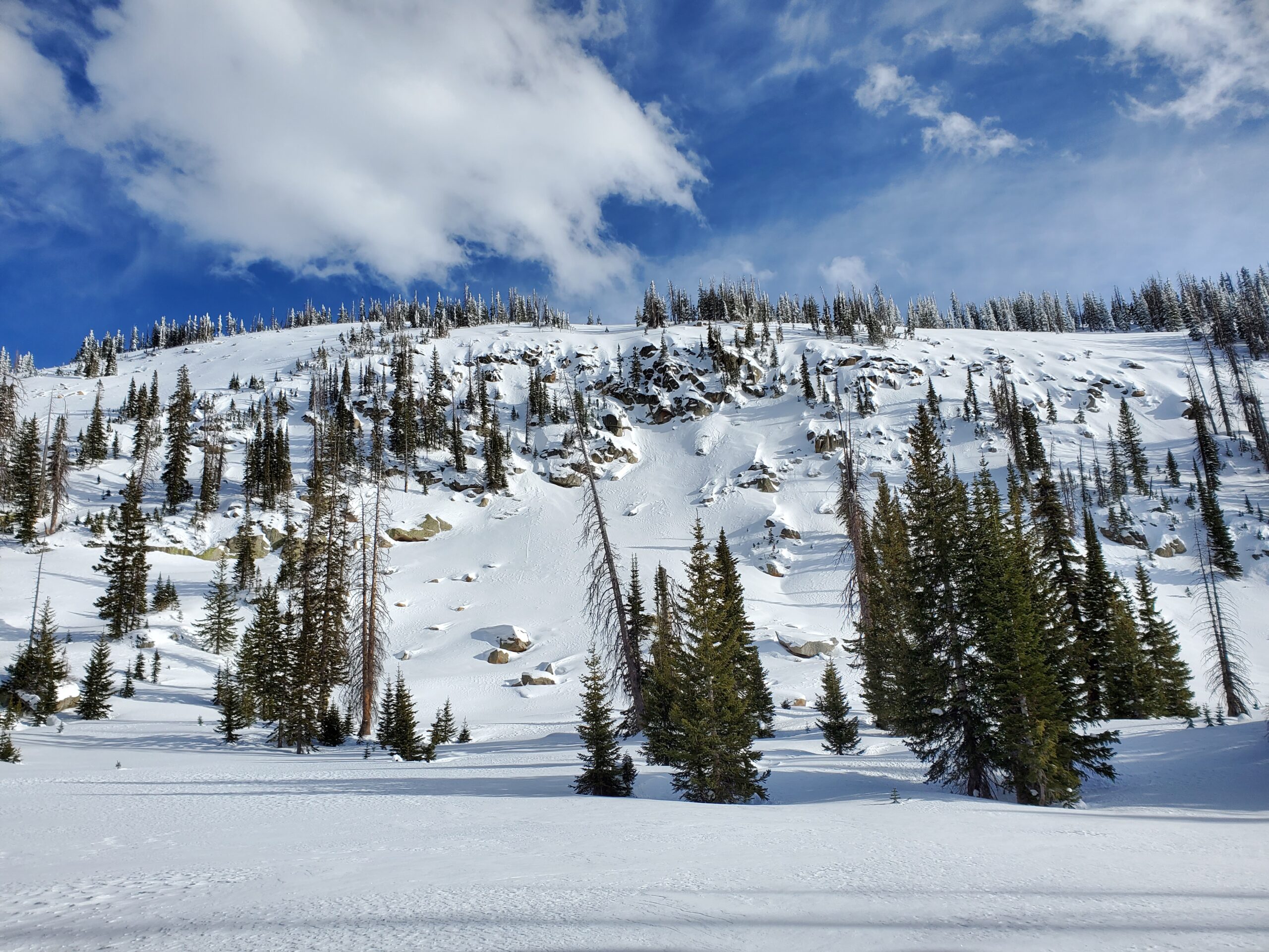
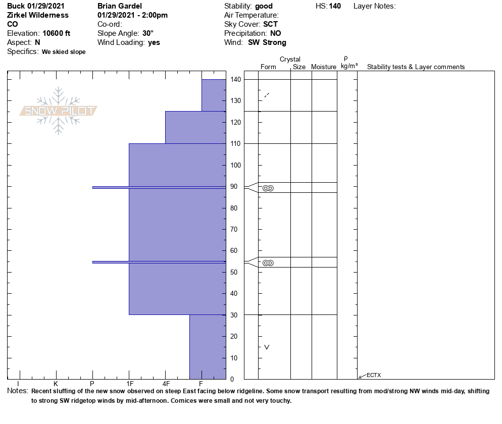
HS generally 140cm on north aspect below treeline, with areas drifted much deeper (probed 240cm in places). Recent and ongoing snow transport was noticeable across multiple aspects due to mod/strong NW winds in the AM, shifting to strong SW winds in the PM. Wind slabs were evident on east aspects below ridgeline. Cornices were still small and mostly nonreactive. One quick profile on north aspect NTL 10600ft revealed HS of 140cm. 90cm progressively harder slab from fist to 1 finger sitting on 30cm of basal facets. ECTX. No cracking or collapsing.
Avalanche Activity
Some recent sluffing observed on the steeper East face of Buck below ridgeline.