
Buff Pass: Soda Mtn
- Posted on
Weather Forecast
Tuesday and Tuesday night worked better than we expected with snow showers during the midday, afternoon, and evening as the wind direction became more favorable and blew from the west and northwest. Total 24-hour snowfall from Tuesday morning to Wednesday morning was 3.5 inches at mid-mountain and 7 inches at the summit. About half of these totals fell on Tuesday night after lifts closed and will lead to soft and enjoyable turns now on Wednesday morning.
For Wednesday, Thursday, and Friday, look for dry weather. Wednesday will be the sunniest day of the three and there will be more clouds on Thursday and Friday. For temperatures, expect highs in the 20s on Wednesday and in the 30s on Thursday and Friday.
Avalanche Danger
Small to Large Persistent Slab NW-SE Possible across All Elev
For the last 72 hours winds were calm. That changed overnight. Winds started ramping up yesterday evening and are forecast at 10 to 20 mph today from the west-southwest with stronger gusts especially in the Front Range. In most of the Northern Mountains there is at least 6 inches of snow sitting on windward slopes just waiting to be transported. Thick slabs of snow will form on leeward slopes. With the new loading, natural avalanches are possible. They can break on a recent shallowly buried faceted layer or deeper ones that were buried in early December.
The increase in wind loading has increased the avalanche danger. There is some uncertainty as to if this loading today will lead to the forecast dangerous conditions. In the past when we have had snow sitting around for a few days without wind, and then a sudden bump in winds, we see natural avalanches. We will see if this pans out today. Use caution if you are traveling in wind-drifted areas and give slopes a wide berth if you see active loading. If the wind forecast doesn’t verify or less snow is drifted than forecast, you should still use caution as older wind-drifted slabs sit on buried weak layers in many exposed places.
Watch for fresh wind-drifted snow on steep slopes. This is where you are most likely to trigger a large avalanche. An avalanche that you trigger could break much deeper than this wind-deposited snow. Identify wind loaded slopes by the smooth and rounded look to the snow surface. These dangerous slopes are most often located directly below ridgetop. Cornice formation above the slope is another sign of previous or recent wind loading.
Don’t let your guard down as you drop down in elevation to sheltered areas. Steep slopes with more than a foot of recent snow should be carefully evaluated. Stick to lower-angle slopes if you observe obvious signs of instability such as shooting cracks or sounds of the snowpack collapsing.
Ski Partners
Select a small amount of conservative terrain in which to operate confidently while more information is gathered to gain confidence in the hazard assessment.
Route
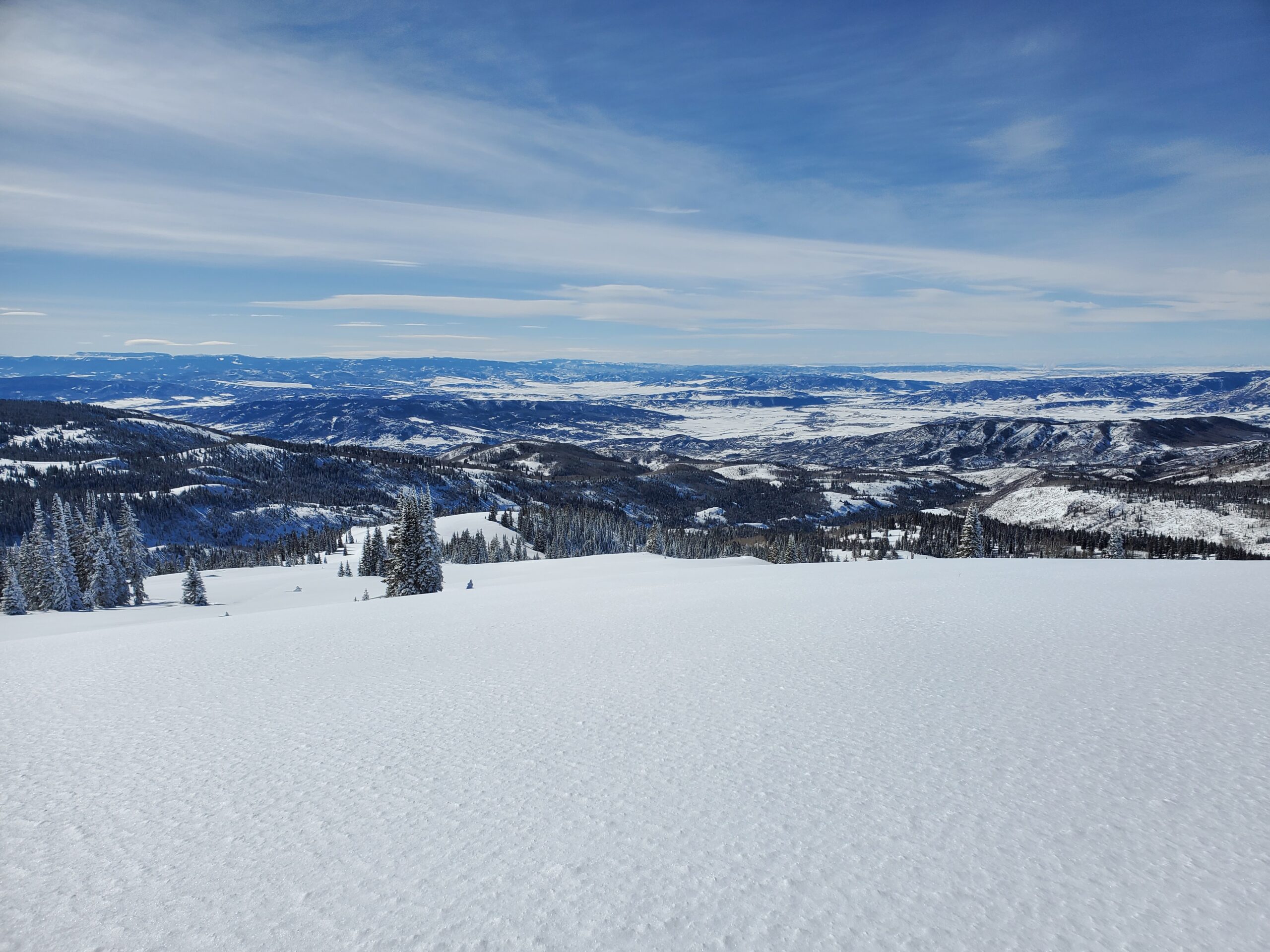
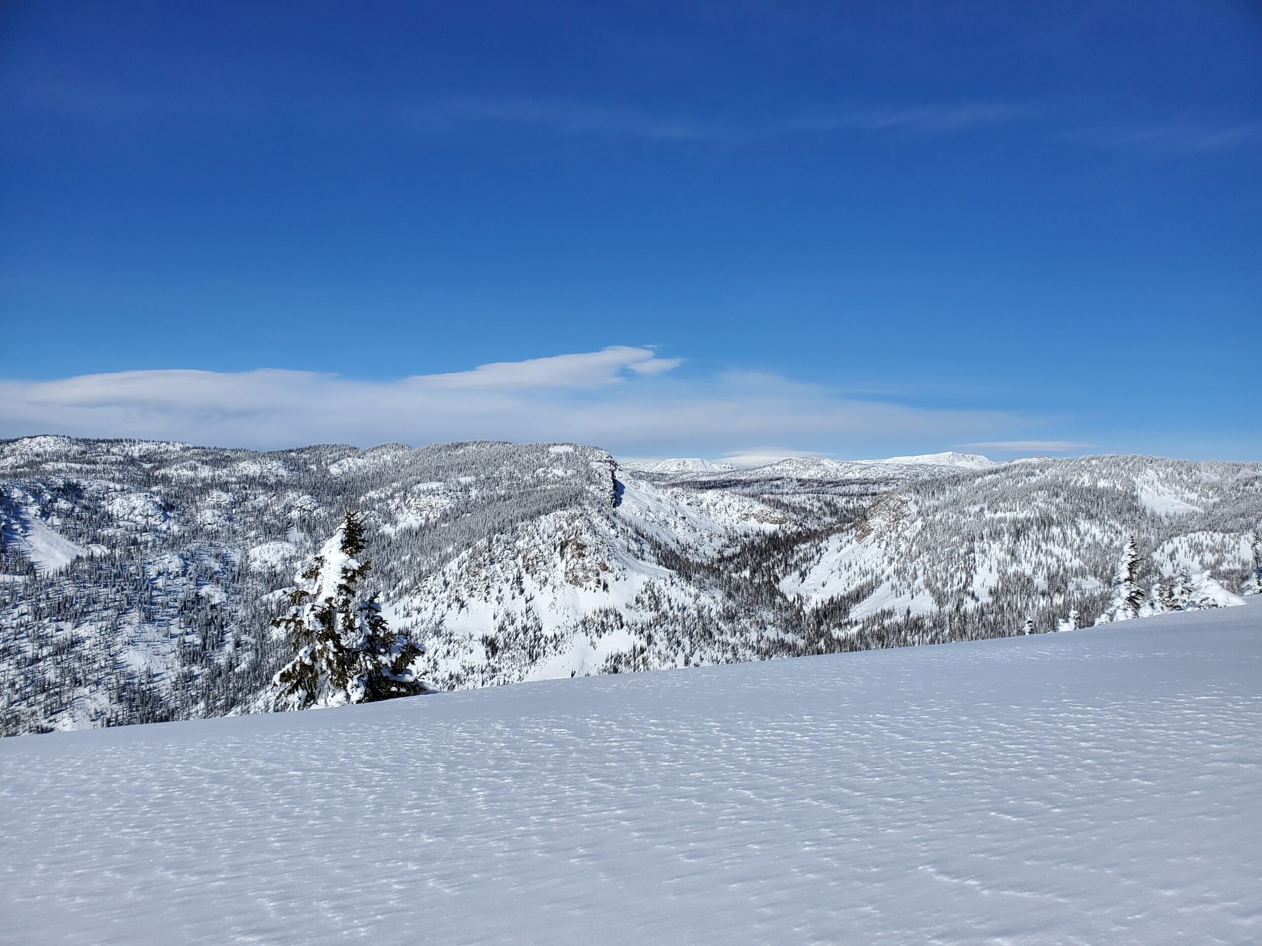
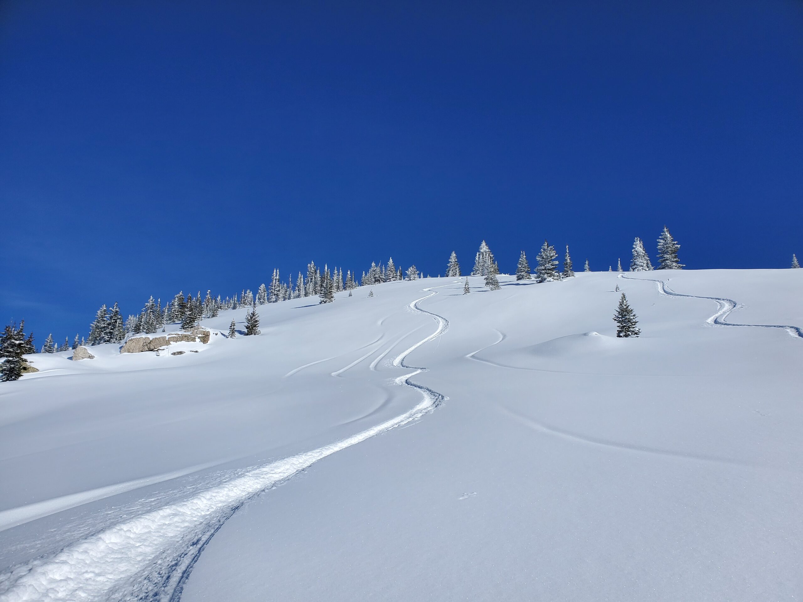
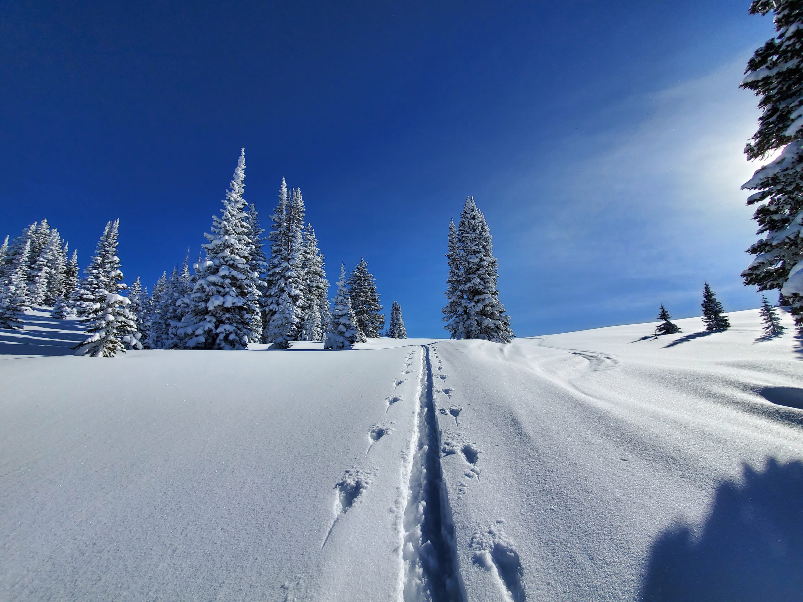
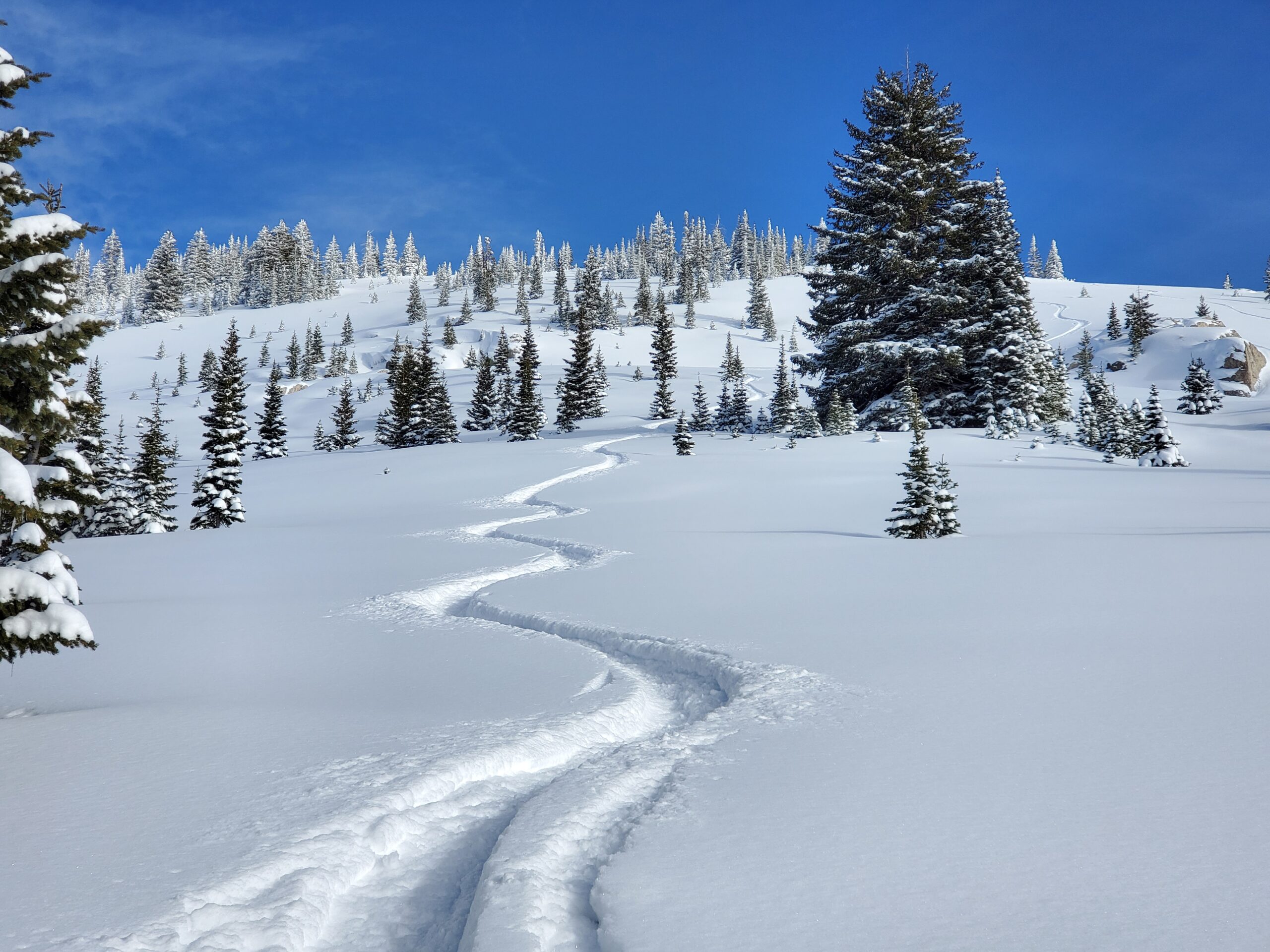
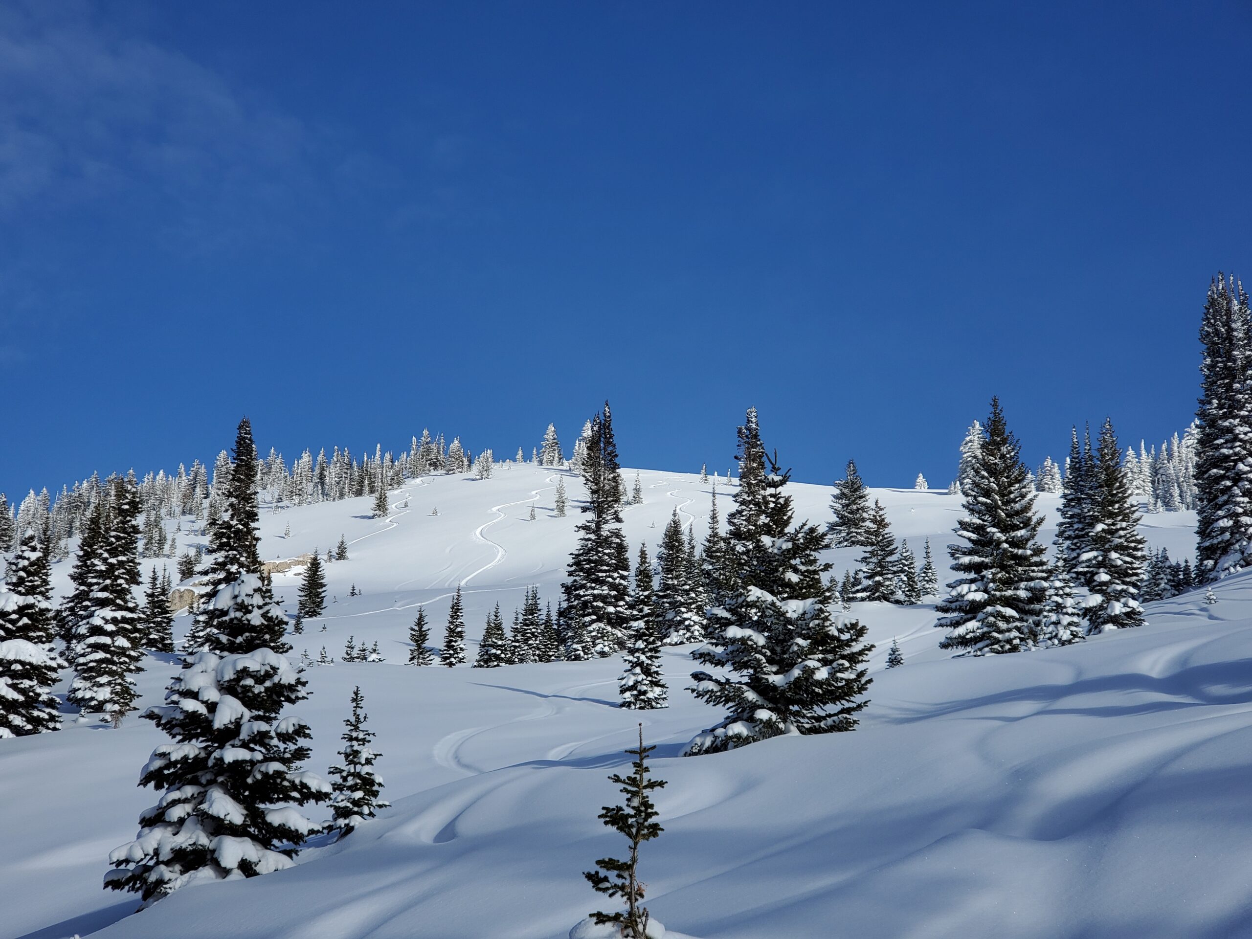
Snomo to the East Ridge on Soda Mtn and park above the North Pole. Skin up and over Soda Mtn to the West side and skied 3x laps from ~10,500-9,600ft on mellow West facing slopes.
Weather
From noon to 3pm: Clear and calm with temps topping out at 20F
From 3pm to 4:30pm: Overcast with a light breeze from the West strong enough for light snow transport at ridgeline. Temps dropped to the low teens
Slight wind effect on the most exposed areas
HSN24
7"
HSN48
10"
Precip
NO
Sky
Clear noon-3pm; Overcast late PM
Winds
Calm noon-3pm; Light W PM
Temps
15-20F
Ski Pen
10#
Snowpack Observations
HS 130cm. No cracking, collapsing, or signs of instability. Did not dig.
Avalanche Activity
Most recent reported avalanche activity was the Gem slide from Sunday