
Buff Pass: Dome
- Posted on
Weather Forecast
OpenSnow: Sunday, Monday, and Tuesday will be dry. Sunday will be the sunniest day with highs in the 20s, and Monday and Tuesday should bring more clouds with highs in the 30s.
CAIC Zone Fx: There is a high-pressure ridge over the western US. That means dry, mild weather for the next few days. Skies will be mostly clear on Sunday. Winds in the usual windy spots are gusty this morning, but wind speeds and gusts should decrease through the day. High clouds move over on Monday, helping reduce the daytime warming. An airmass moving in from the southwest counters the clouds, with the result of daytime high temperatures similar or slightly warmer than Sunday’s. It looks like the first in a series of storms arrives on Wednesday, and stormy weather could continue into the weekend.
Temps: 22 to 27F
Wind Speed (mph): 5 to 15
Wind Direction: SW
Sky Cover: Mostly Clear
Snow (in): 0
Avalanche Danger
#1 Small to Large Persistent Slab NW-SE Possible across All Elevations
#2 Small to Large Storm Slab Likely across All Aspects & Elevations
Dangerous avalanche conditions. Heavy snowfall favoring portions of the Flat Tops and Park Range have raised the avalanche danger. Use extra caution or avoid travel on slopes steeper than around 30 degrees where you find more than 10 inches of new or drifted snow. Weak snow layers buried in the snowpack will struggle with this new snow load and may easily fail below you. On slopes facing north to east to southeast where denser slabs have formed, avalanches could break deeper and wider than you might expect. Look for signs of instability like cracking and collapses in the snowpack to warn you of heightened danger.
To stack the odds in your favor, stick to lower-angle slopes and avoid traveling on or below nasty terrain traps like creeks and gullies where avalanche debris can pile up deep.
Ski Partners
Route
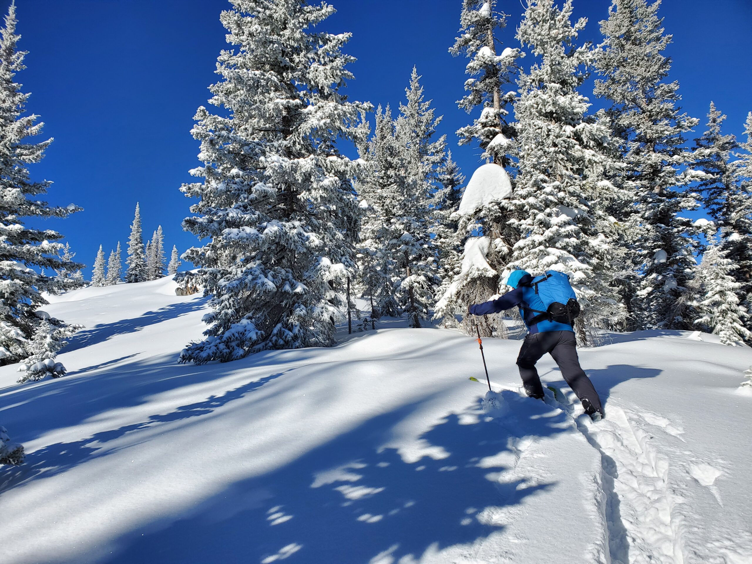
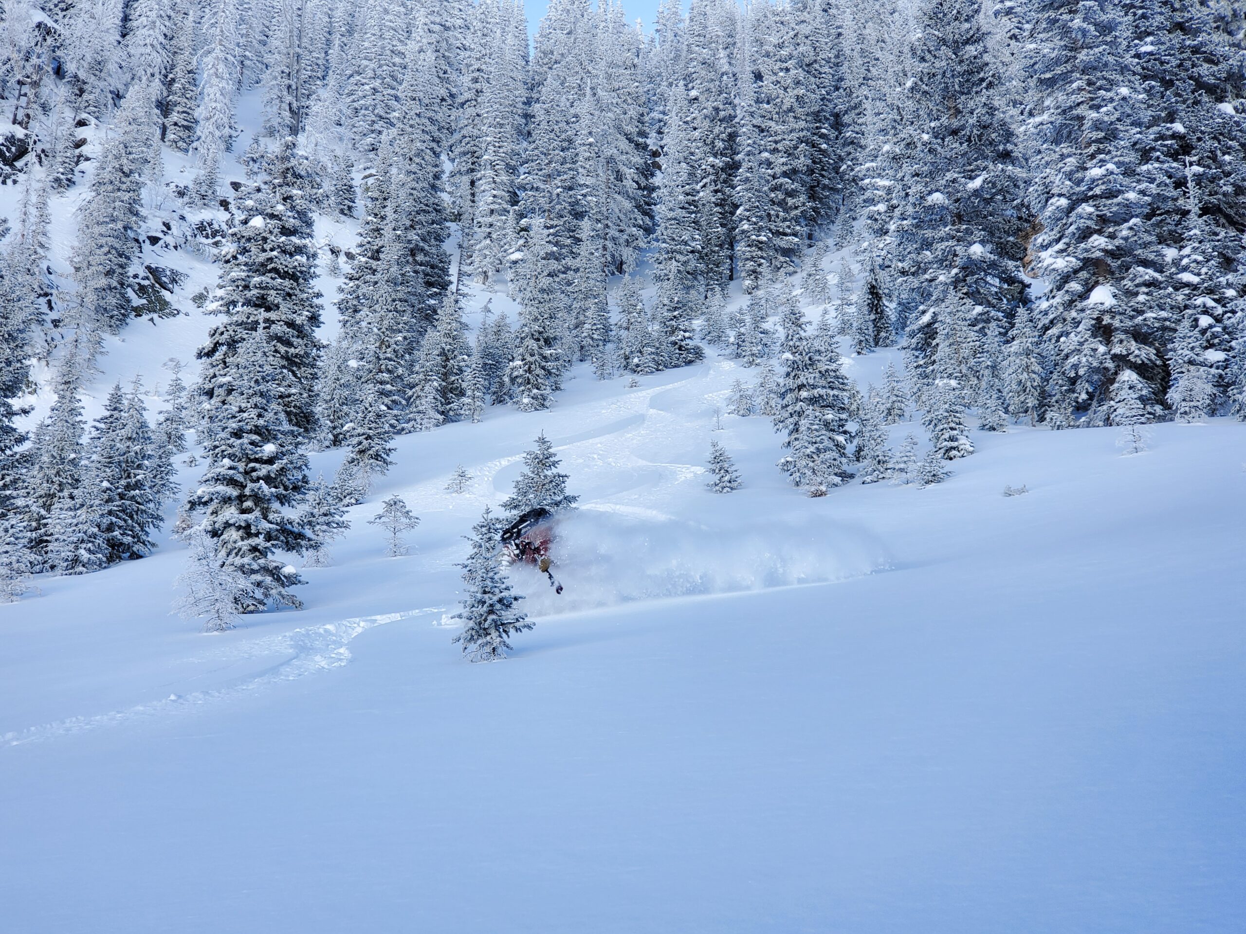
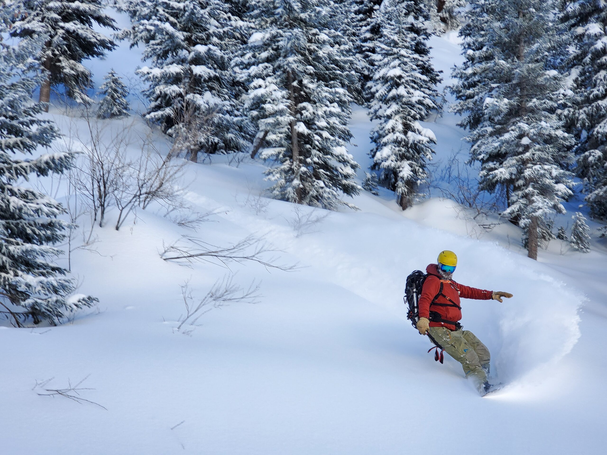
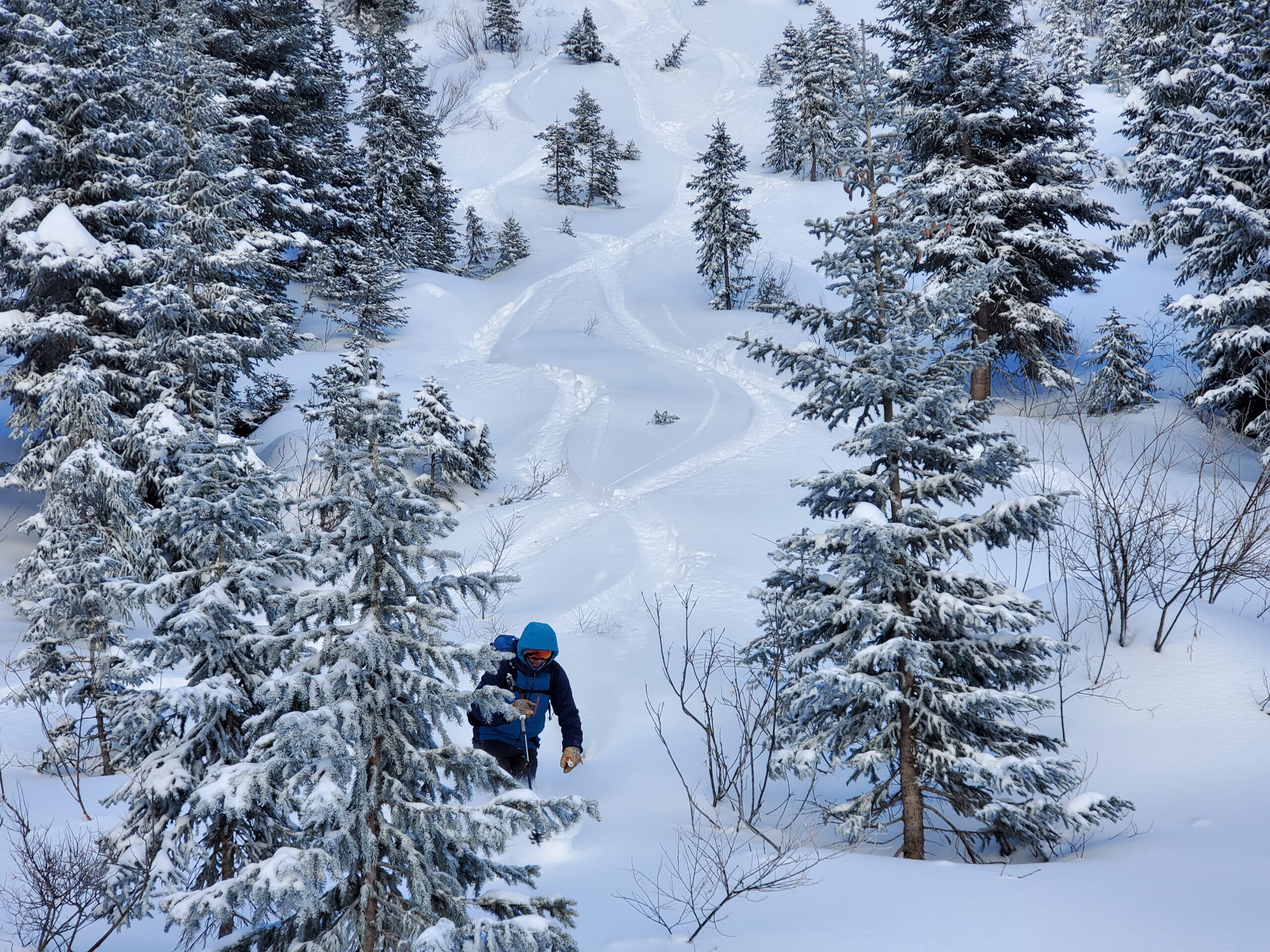
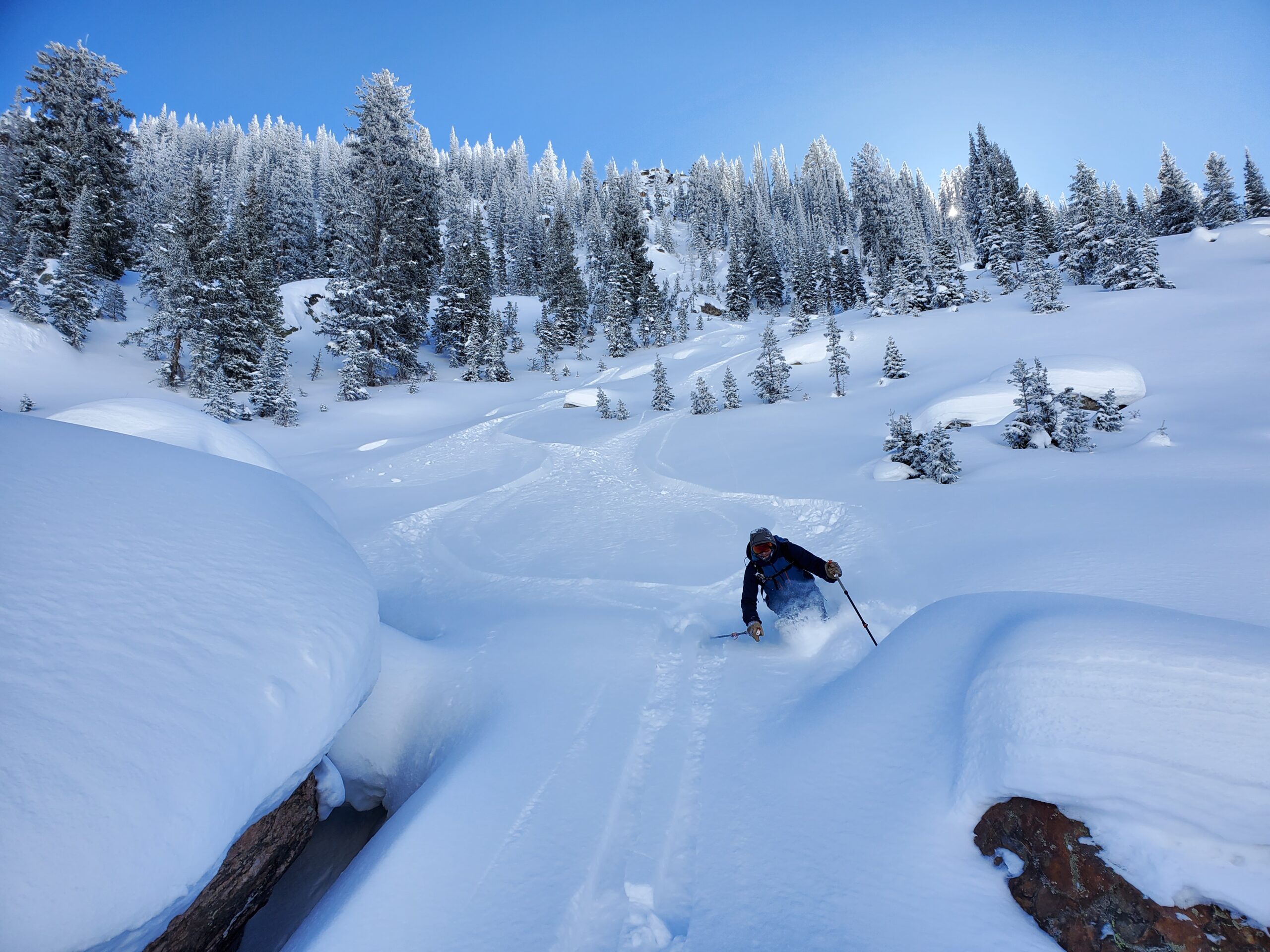
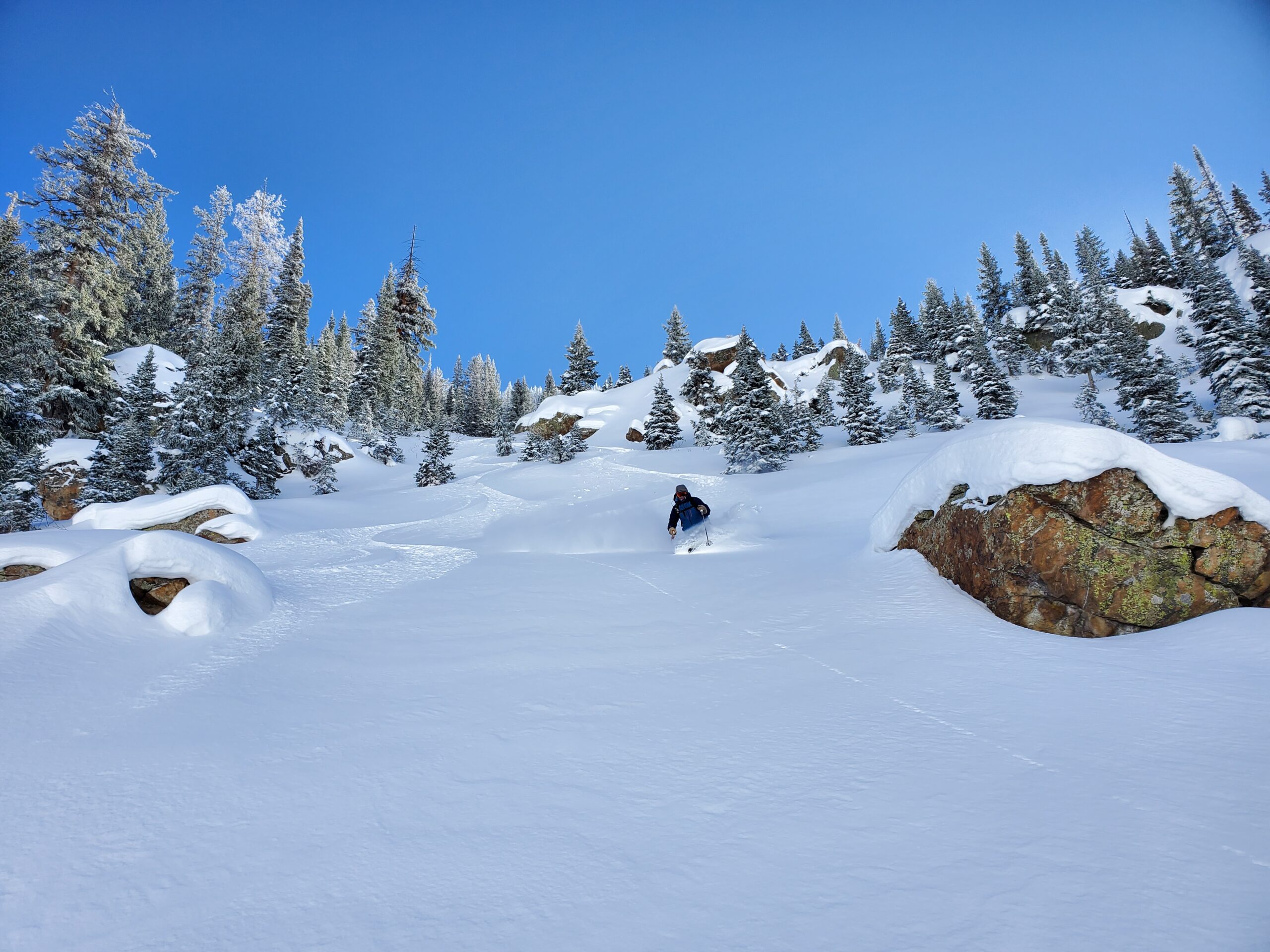
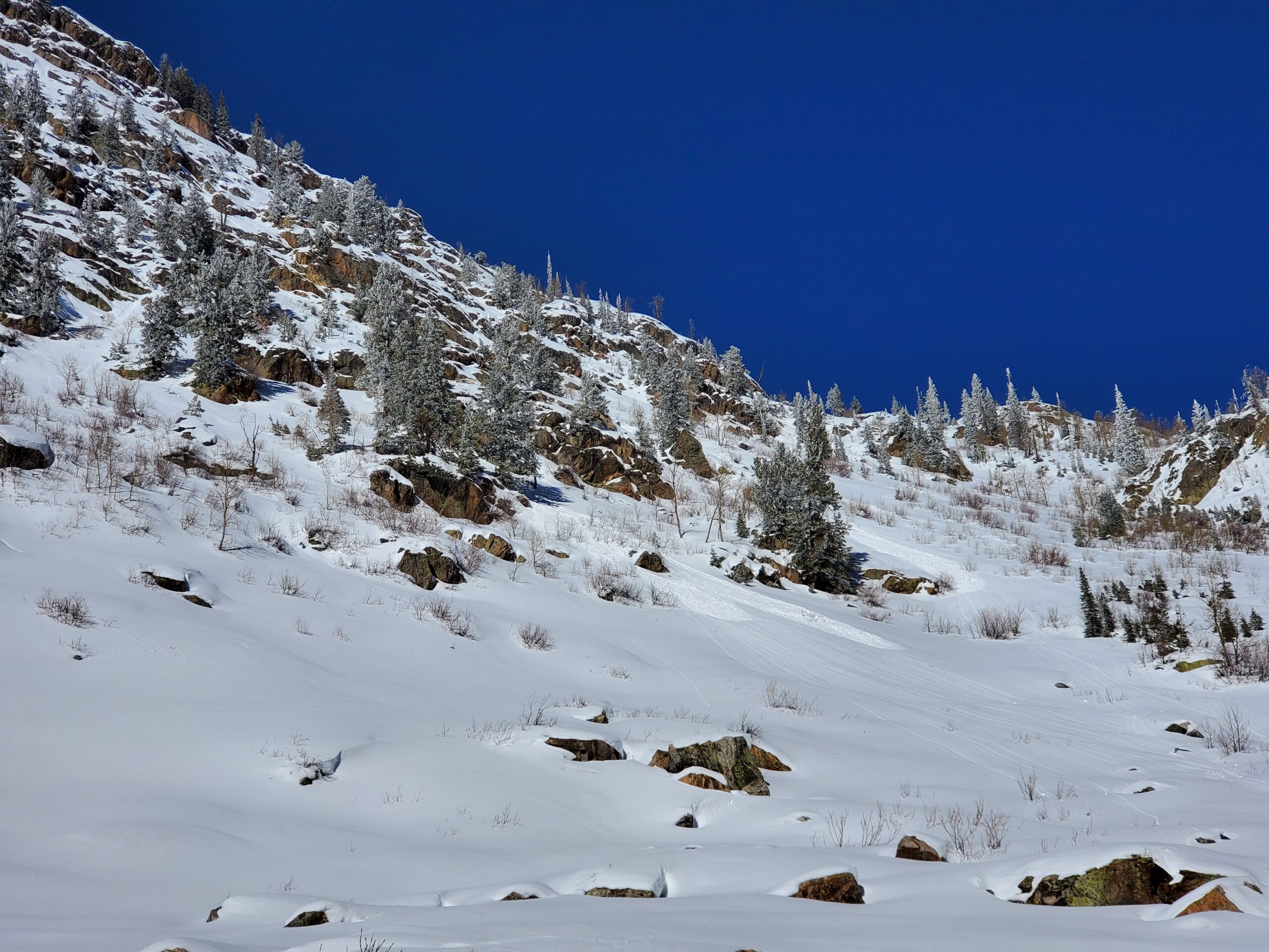
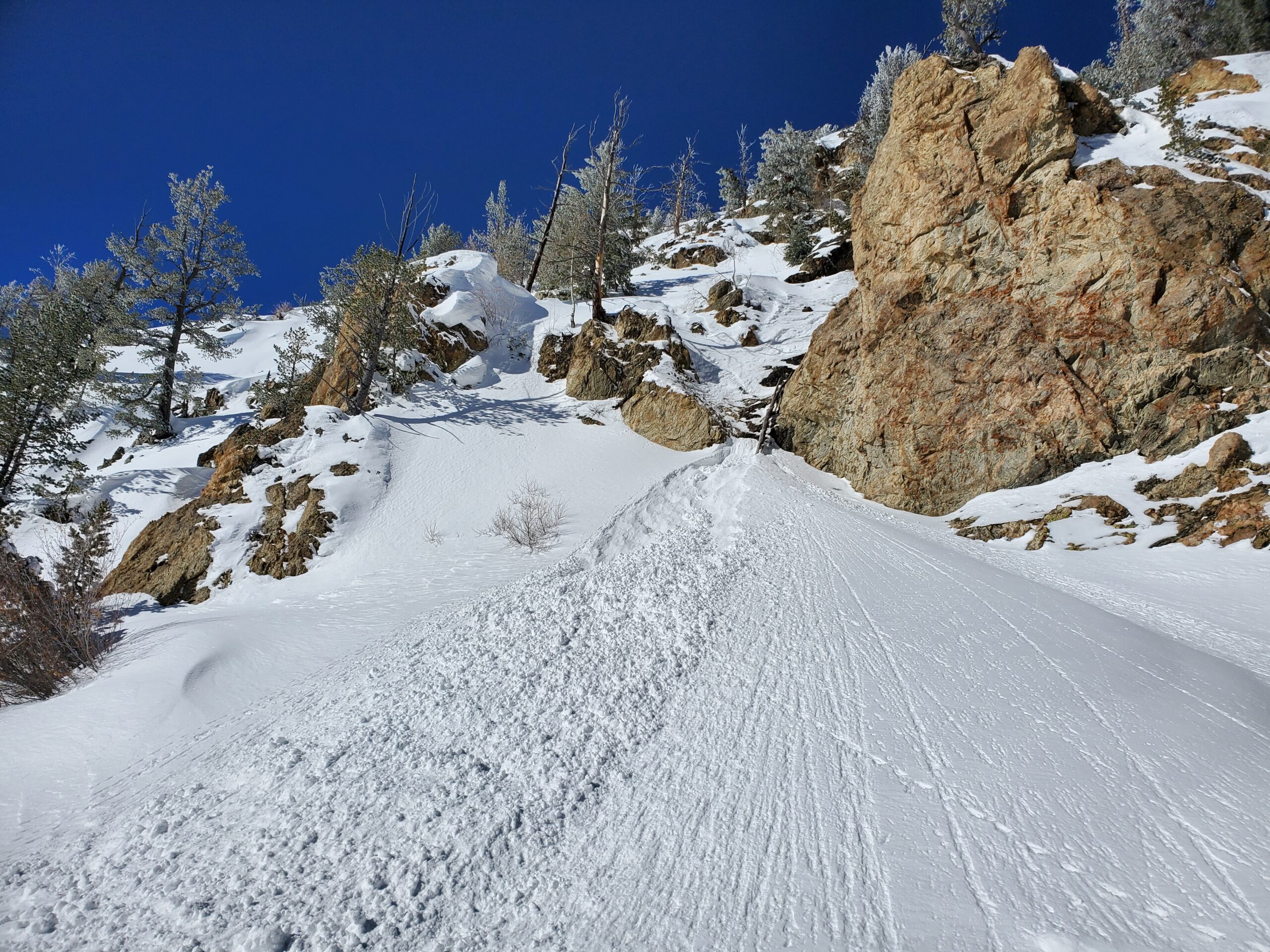
Snomo from Dry Lake to Dinosaur Ridge. Parked sleds at 10000ft and toured WSW along Dinosaur Ridge to Delaney zone. Descended 2x runs: Delaney Bowl & Delaney Chute on N-NW slopes (10000 to 8900ft). Ascended both times up N. Fork Fish and up the west flank of the traditional ascent gully.
Weather
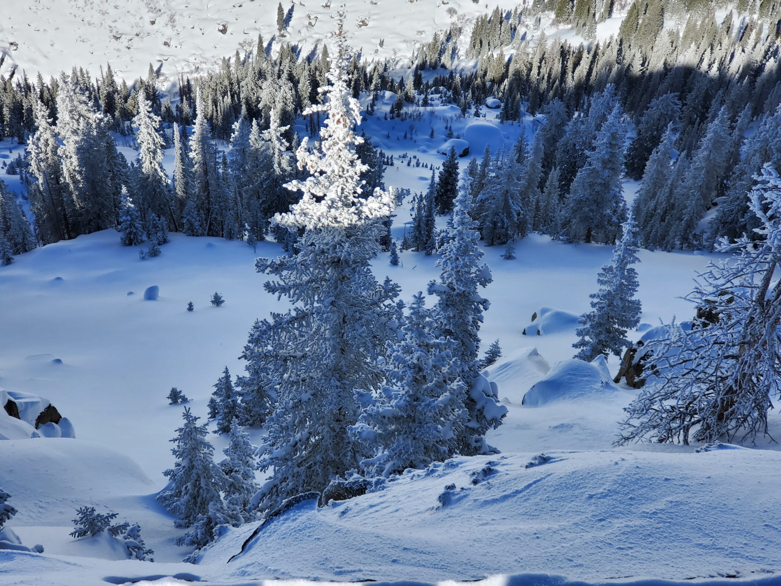
Picture-perfect sunny day with high temperatures rising to the upper 20s to mid-30s. Clear, calm, and chilly (15F) in AM and warming up to freezing levels in the PM.
HSN24
20cm
HSN48
20cm
Precip
NO
Sky
Clear
Winds
Calm
Temps
15F-30F at Tower
Ski Pen
15cm
Foot Pen
30cm
Snowpack Observations
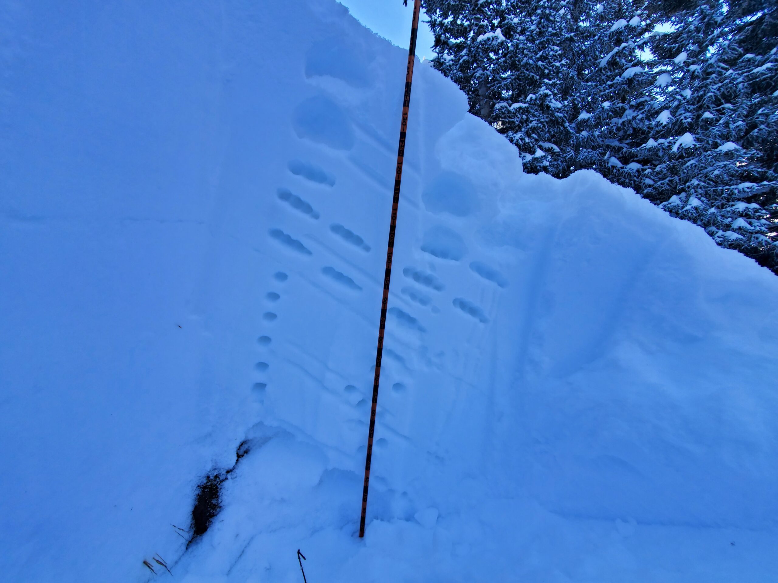
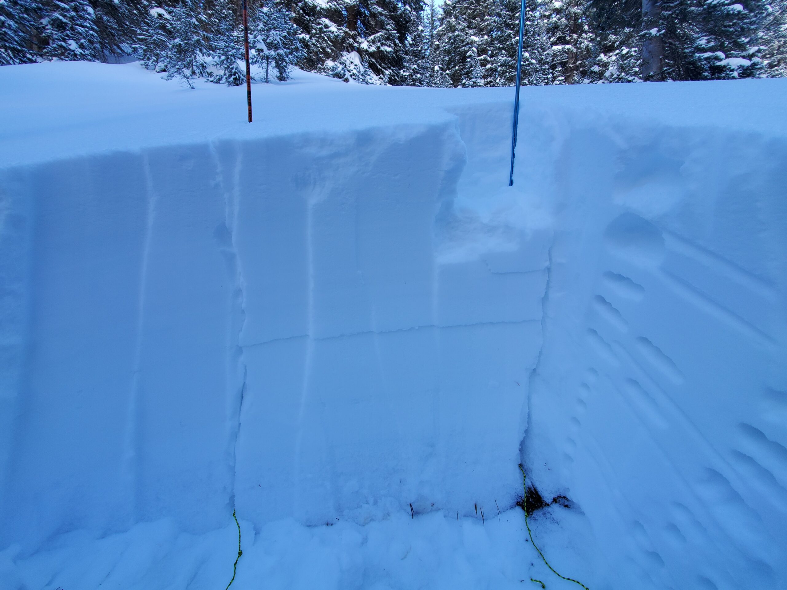
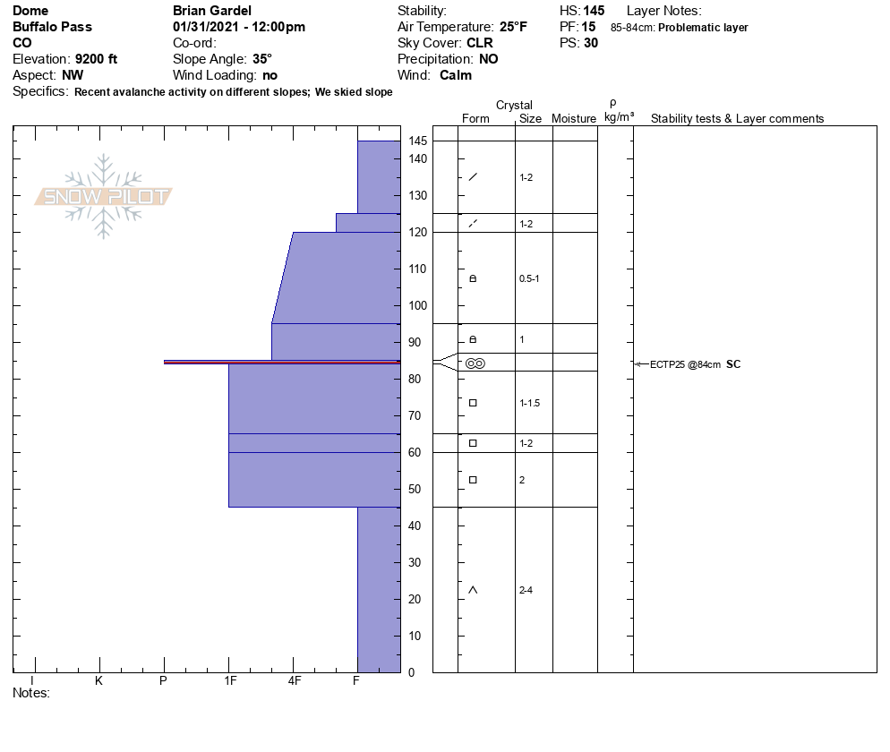
HS generally 140cm on north-northwest aspects BTL. HN24 20cm non-wind affected. Snow profile on WNW BTL 9200ft revealed HS of 145cm. 100cm progressively harder slab from fist to 1 finger sitting on 45cm basal facets. ECTP25 SC below a 1cm buried melt-freeze crust 60cm down. No cracking or collapsing.
Avalanche Activity
New snow sluffing off naturally on steep solar aspects. Easy skier-triggering of sluffs on steep shaded aspects.