A northwestern jetstream is parked over northern Colorado. Light snow showers continue for most of the Northern Mountains Saturday and Saturday evening, again favoring the Park Range and Elkhead Mountains. In the Central Mountains a few inches will accumulate in areas favored by the northwest flow Saturday, with lesser amounts to the east. The Southern Mountains stays mostly dry. The winds remain a constant Saturday across all mountain areas.
Sunday, the northwest winds continue to howl. Temperatures stay cool. Chance for a few localized snow showers near the Wyoming border, but otherwise dry. Aeolus finally takes a nap Sunday evening into Monday when the winds start to let up.
Temperature (°F): 14 to 19
Wind Speed (mph): 15-25, G40
Wind Direction: WSW
Sky Cover: Overcast
Snow (in): 4 to 6
Assessment – There is a high degree of uncertainty about conditions, such as when first encountering the terrain for the season, entering new terrain, after a lengthy period with limited observations, or after substantial weather events with uncertain effects.
Select a small amount of conservative terrain in which to operate confidently while more information is gathered to gain confidence in the hazard assessment.
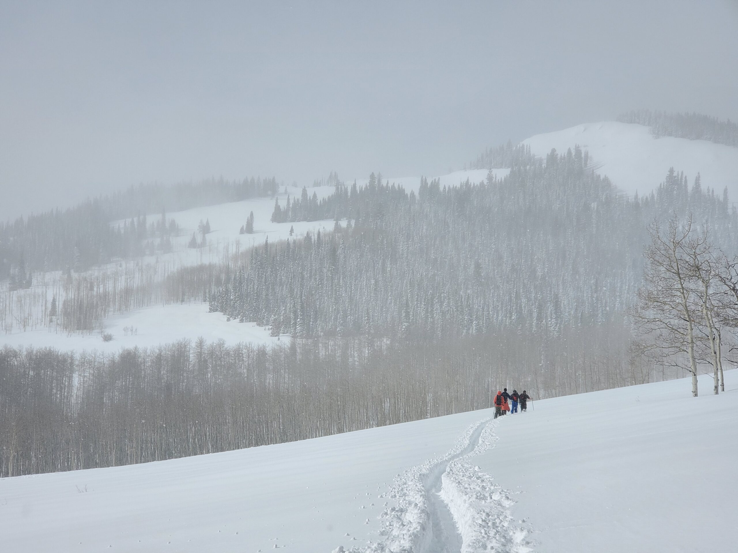
Route
Park vehicle at the intersection of HW40 and HW14. Tour WSW toward Baker Mtn for a quick lap on low angle terrain.
Weather
Overcast and windy with blowing snow. Mild temps in the low 20’s F
