
Valkyr & Rogers Pass, BC
- Posted on
Date
01/26/2020
Location
Avalanche Danger
Ski Partners
Weather
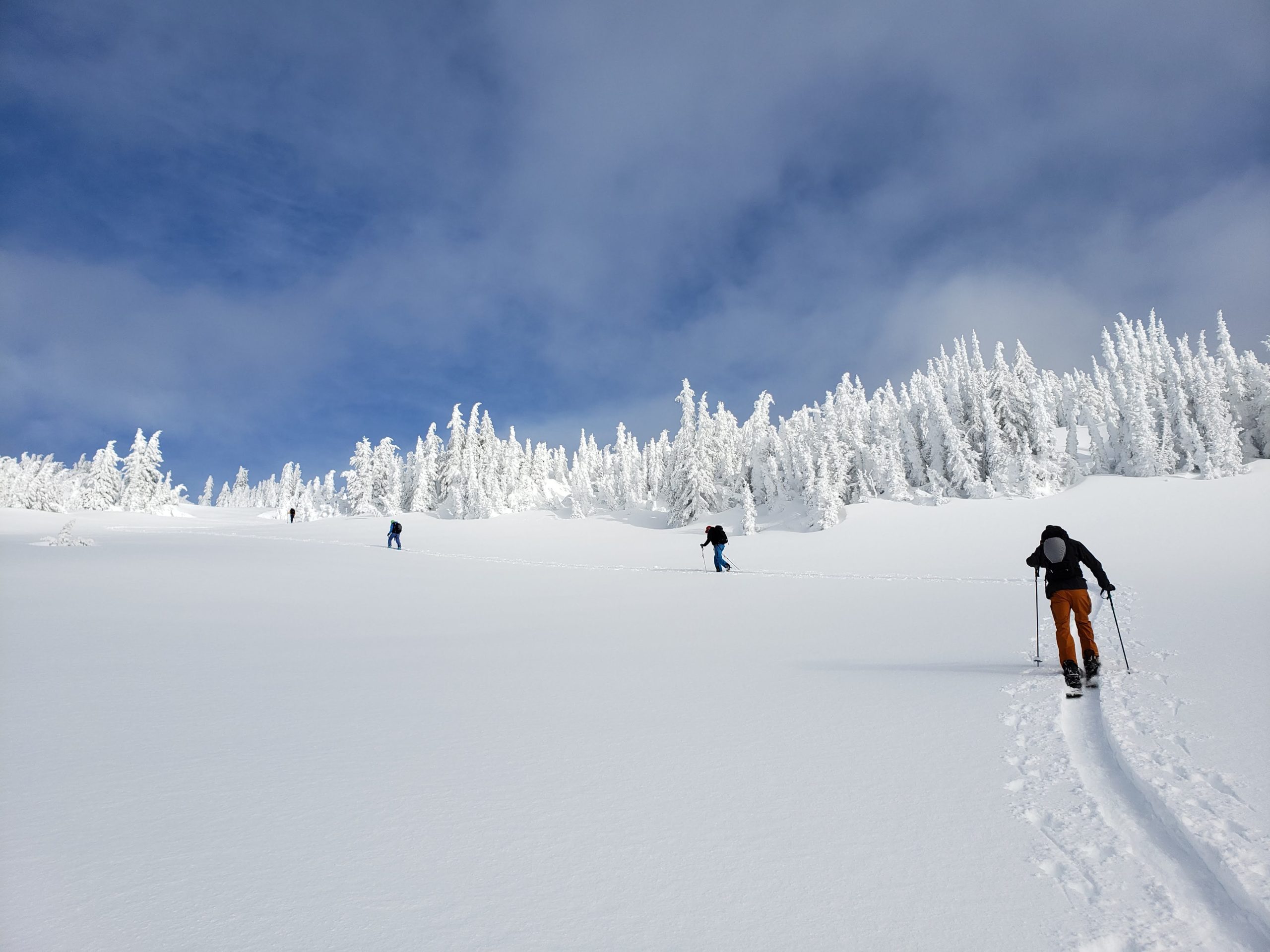
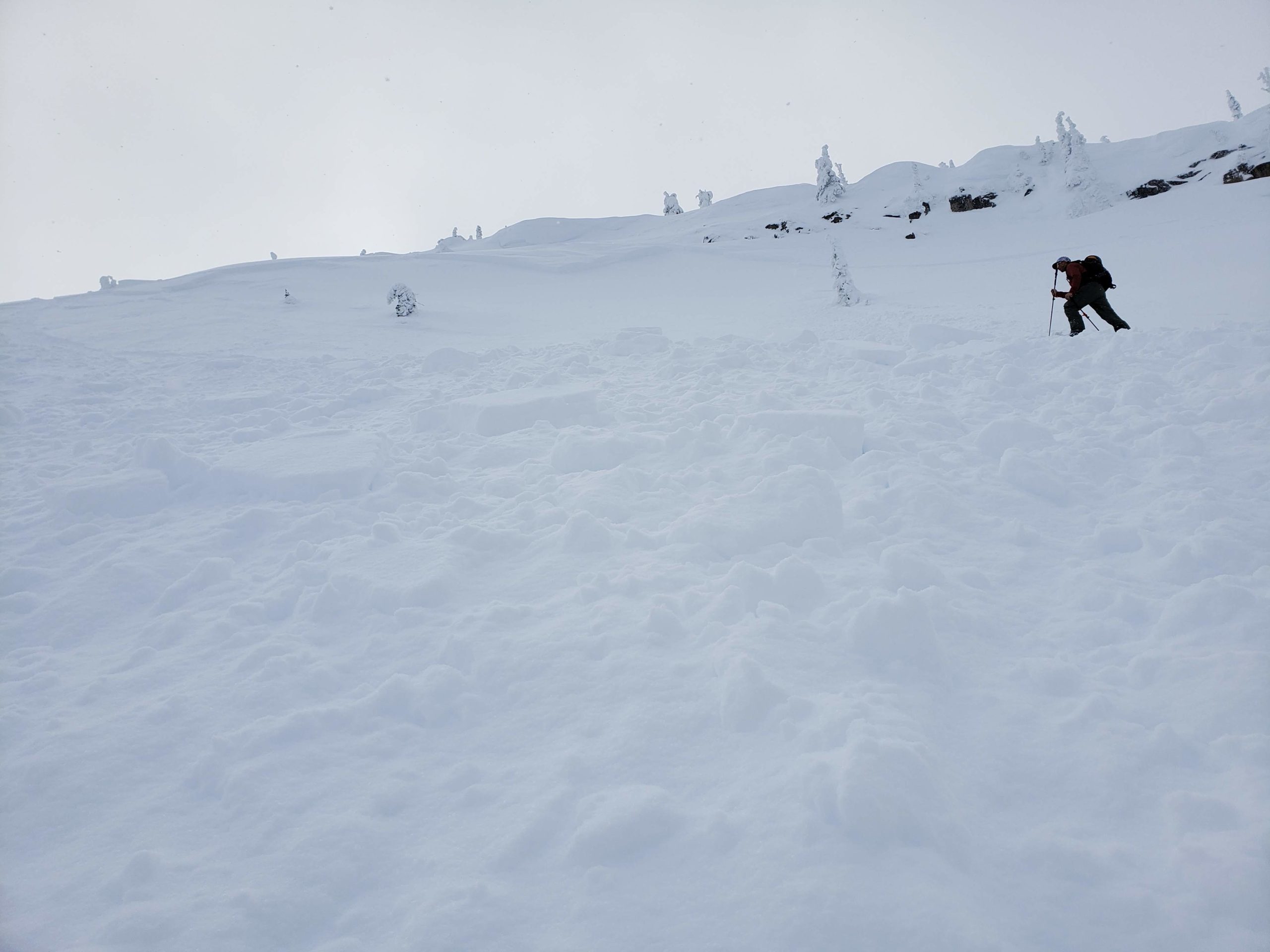
The theme of the week was warmth with consistent light to moderate winds out of the SW. Twice in the past week we had highs of -2c with lows @ -3c. -9c was the coldest temp we saw. 31cm HST mostly in the last two days (Thur/Fri) reset the surface conditions. Mod to Strong alpine winds throughout the week, mostly from the S and SW, but occasionally from the NW & NE created wind effected surfaces below the most recent snow. There have also been a few thin rime crusts develop in the past week.
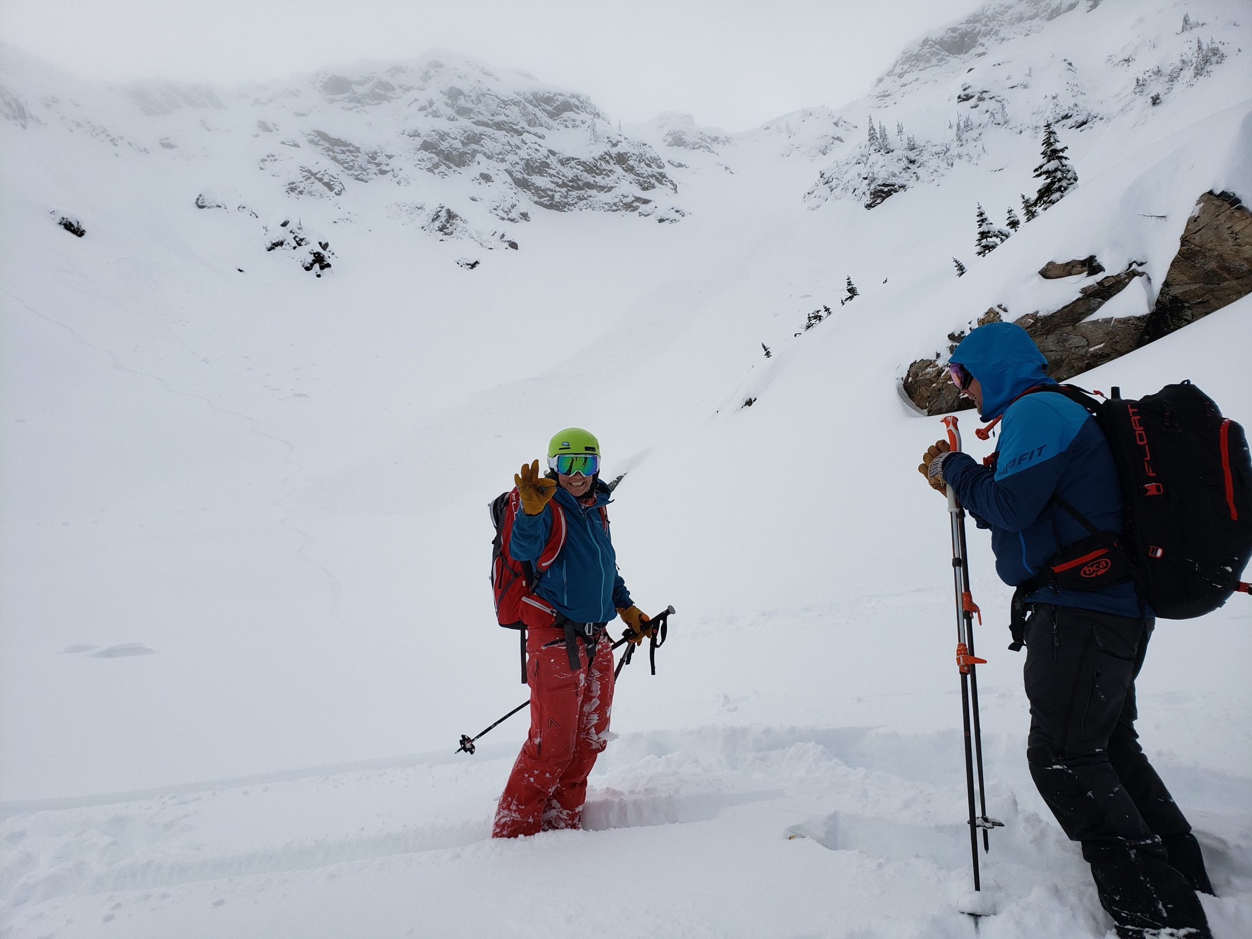
Snowpack Observations
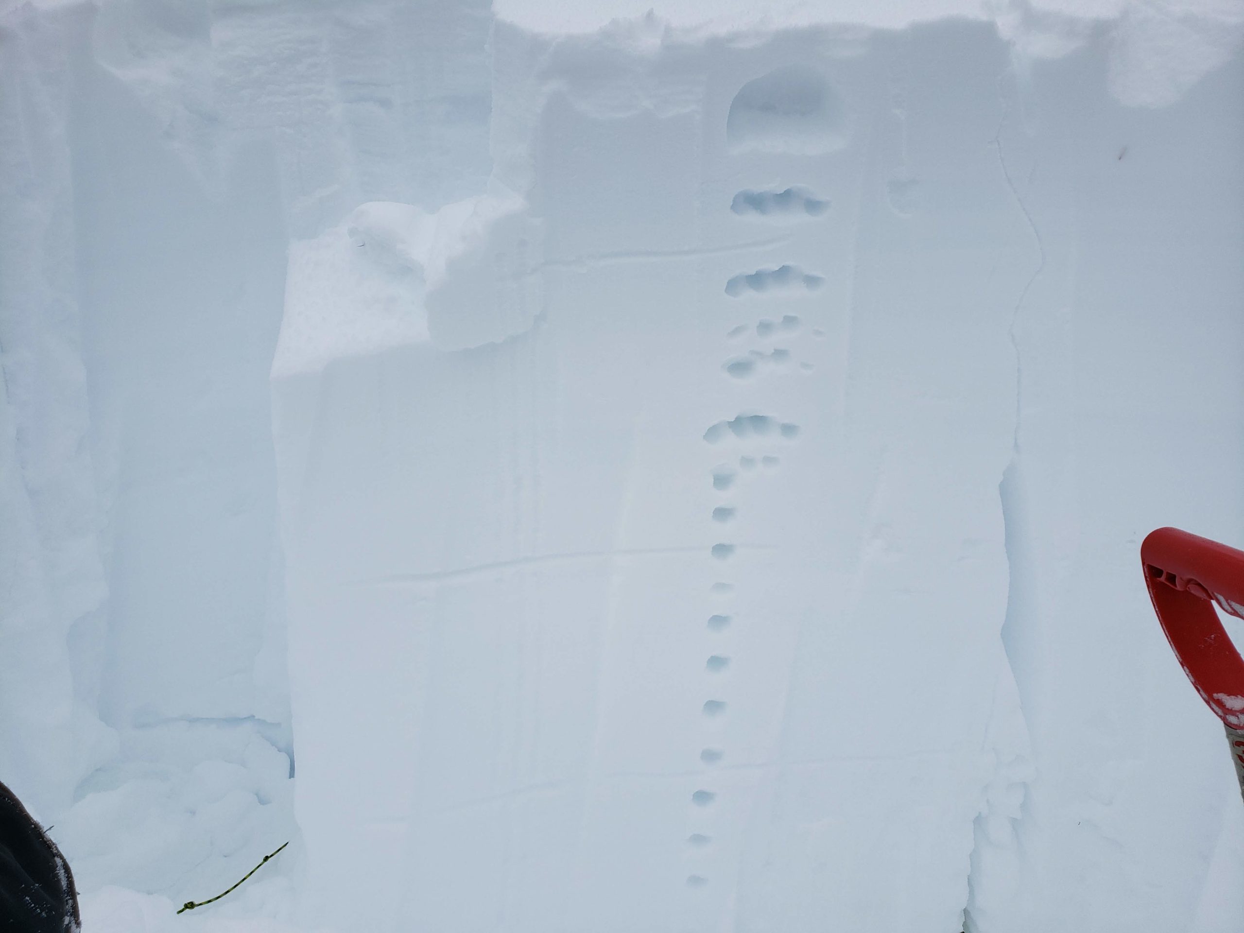
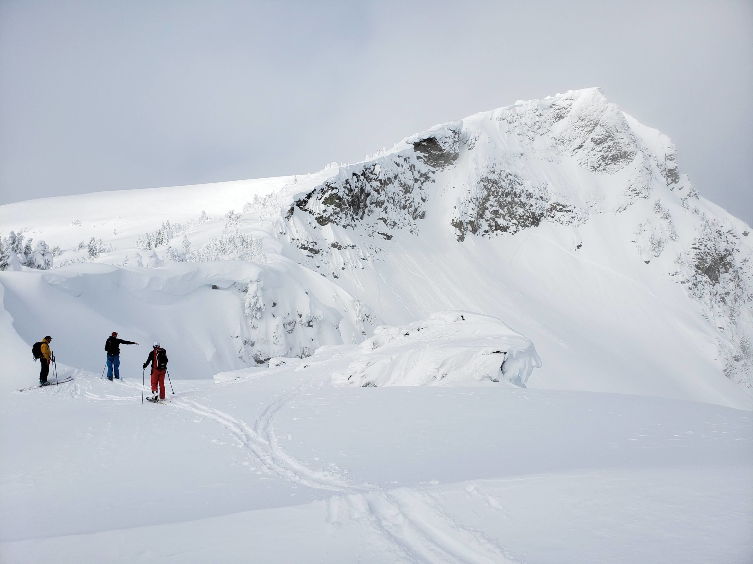
Warm temps & sustained winds settled out most of the upper & mid packs. Over 2 weeks we saw 26cm of settlement in HS & boot pens from 60 to 25cm. Also, in last 2 weeks snowpack tests trended from Sudden to primarily Resistent and even Progressive Compression. For the last 4-5 days we’ve primarily been concerned with surface & HN instabilities, mostly wind slabs. We still have the Nov CR/FC laminates on our radar in steep, unsupported terrain, but have seen no activity in 2 weeks in the range. We’ve also seen significant cornice growth in the last 2 weeks with a few small failures.
Avalanche Activity
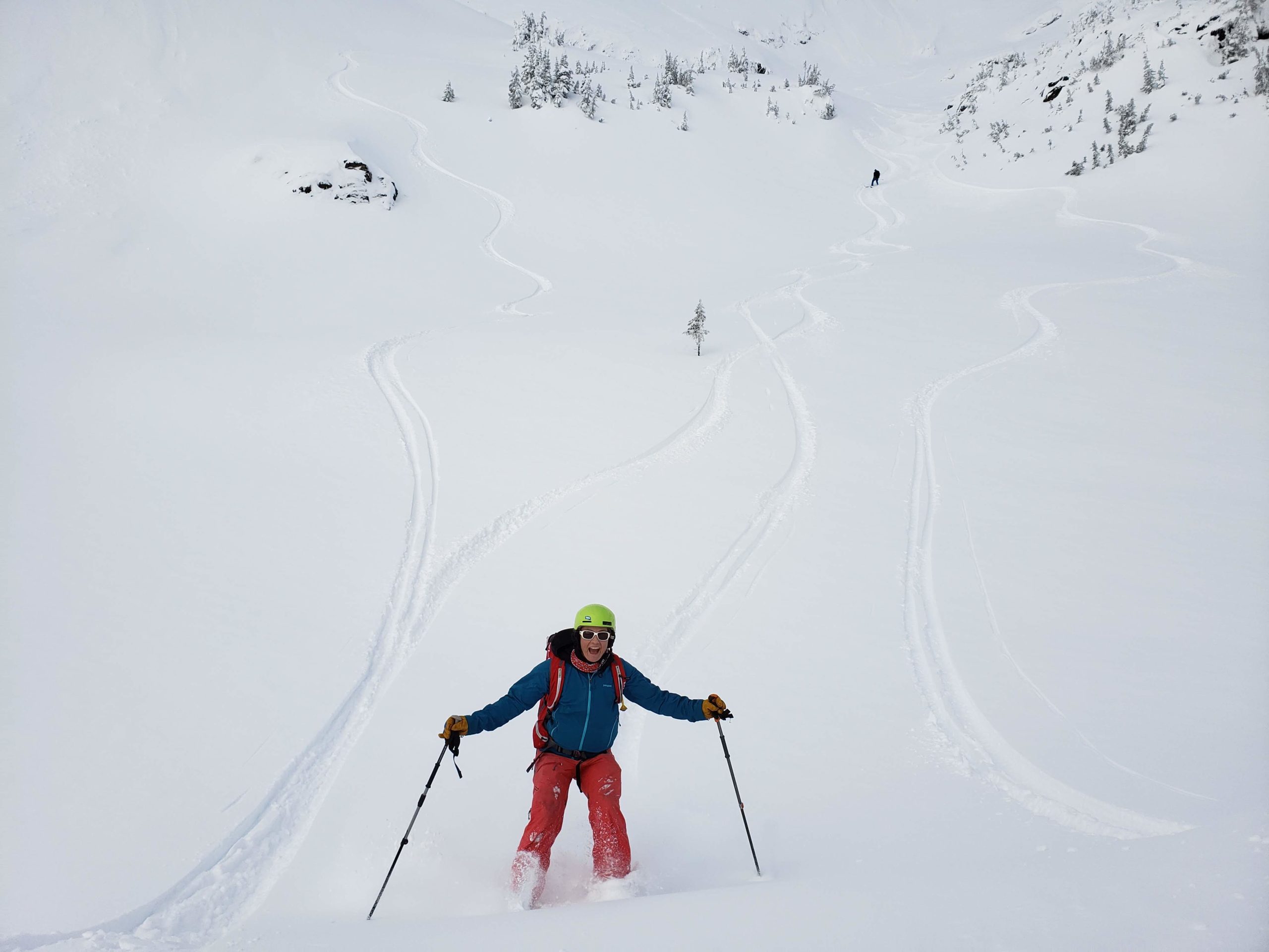
We’ve seen no mid pack avalanche activity, and nothing of note early in the week. Friday saw our heaviest snowfall of the week and we experienced many Dry Loose and few small Storm Slabs. All sz 1 and mostly predictable in steep features. Saturday was our most active activity. 2 Na Wind Slabs. 1 in Viking Holler Main sz 1.5-2 and 1 in Grizzly Chute (smaller left side) sz 1.5 most likely at night. We also ski cut 2 sz 1’s in the Grind and Lower Grizzly Chute on a steep cross-loaded feature. Wind Slabs are the primary concern in the short term.
More pics here:
https://photos.app.goo.gl/7UvZCdNKPH96DtKx8