
Rabbit Ears: Fox Curve
- Posted on
Avalanche Danger
Persistent Slab N-SE NTL & ATL possible. Small to large.
Slopes steeper than about 35 degrees with layers of wind-drifted snow are the most likely places for you to trigger an avalanche. You will find this setup on north through east to southeast facing slopes. Likely spots for you to trigger an avalanche are steep open slopes, gullies, or below ridgelines. Near treeline areas may be the most dangerous where the drifted snow is more extensive and thicker. Avoid harder snow features with a smooth or rounded appearance, and anywhere you see cracking or feel collapsing in the snow.
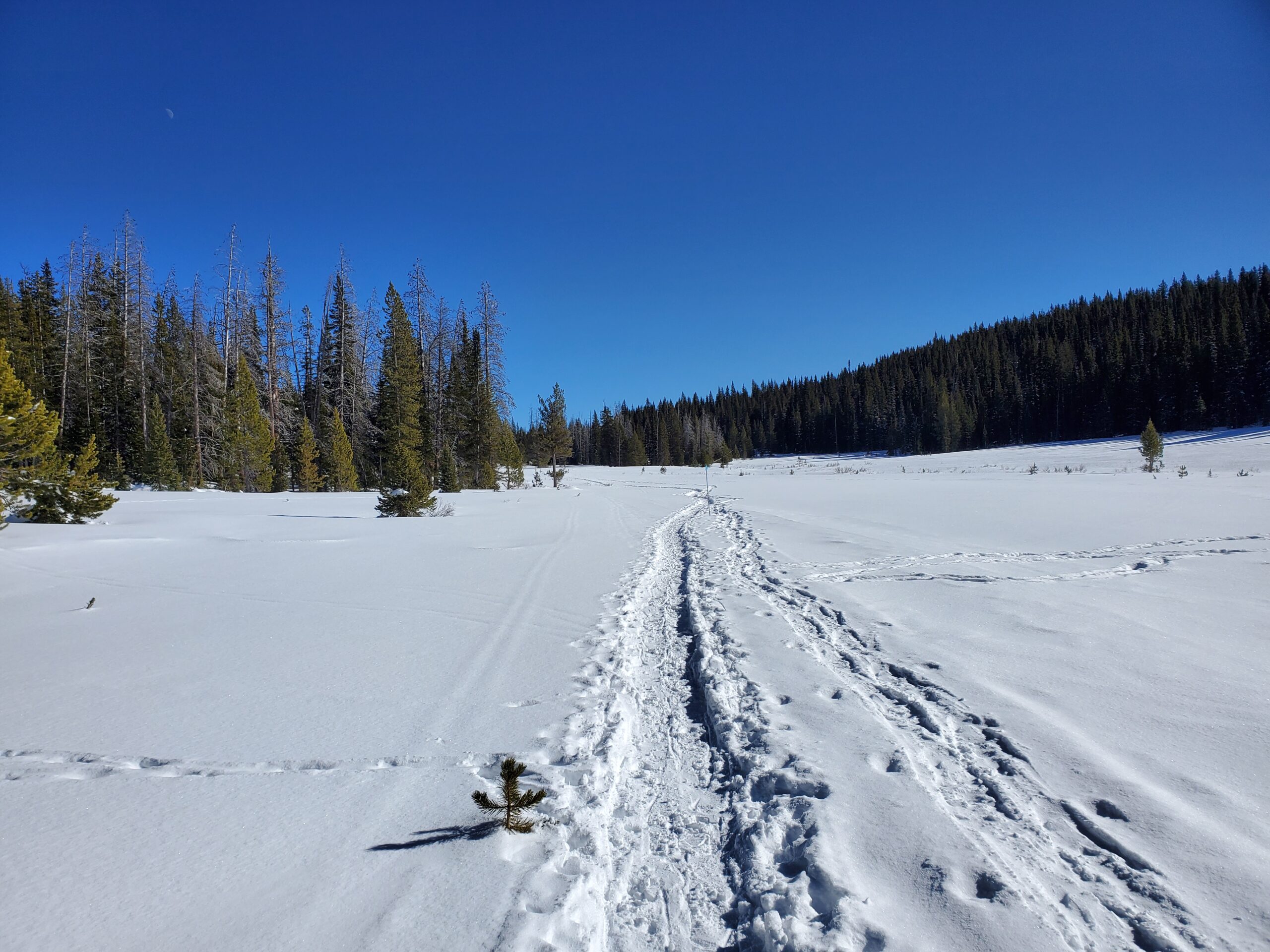
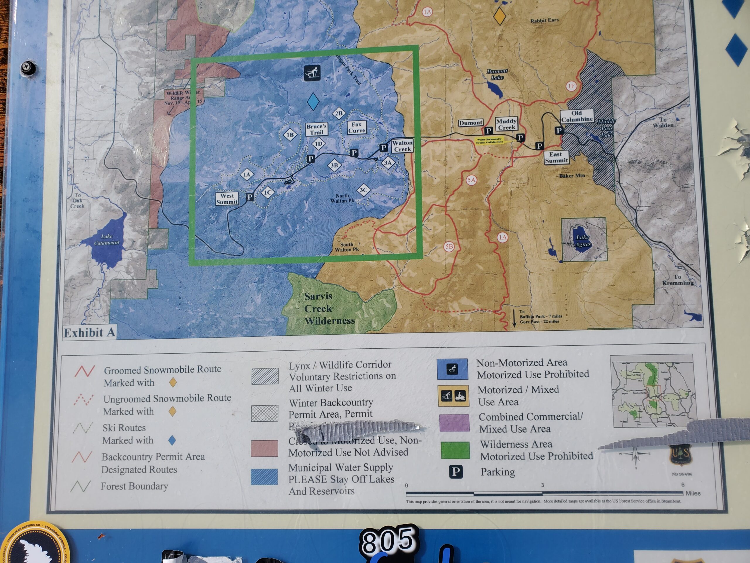
Route
Weather
AM: Cloudy with light flurries and no accumulation
PM: Bluebird and calm with temps rising to near freezing levels
HSN24
0"
HSN48
0"
Precip
NO
Sky
Clear
Winds
Calm
Temps
30F @ 1pm
Ski Pen
4-6"
Snowpack Observations
You will find hard layers of wind-drifted snow on steep, leeward slopes. The layered structure is there: hard slabs overlying weak snow near the ground. Monday’s snow was blasted by winds into yet another layer of stiff, brittle snow. The thickness and density of the slabs varies greatly over short distances. The most problematic areas hold the most snow and are around the transition areas near treeline. This is where winds were strong enough to harden the snow, and also sheltered enough to hold deeper snow in terrain features. Above treeline is well-scoured right now, especially on anything west-facing. Observers still report the occasional avalanche and signs of poor structure like shooting cracks. We’re stuck with a snowpack structure that is stubbornly, and very slowly, changing.