
Buff Pass: SPC BST
- Posted on
Weather Forecast
On Friday, we saw 5-8 inches accumulate during the day, and then on Friday night, an additional 4-6 inches fell across the mountain. That brings the 24-hour snow report to 9-14 inches. Enjoy the powder on Saturday morning, which might feel a bit thicker due to warm temperatures.
On Saturday, the morning will be dry or offer just light showers. Then the snow will ramp up again by midday or early afternoon and we’ll see showers through Saturday night. On Saturday night, even though the wind direction will not be favorable, enough storm energy could hang around to create at least a few inches of snow with accumulations between about 1-6 inches (yes, that’s a big range, as the forecast is very uncertain).
Ski Partners
Limit skiing to a small terrain selection assessed as having acceptable risk until the situation has clearly changed. New evidence continues to be gathered and monitored for changing conditions, but new terrain is only considered for opening if there is compelling evidence to do so (for example if an avalanche was observed that definitely removed the layer of concern).
Entrenchment mode is a successful operating strategy for persistent slab instabilities.Establish a limited base of acceptable operating terrain and be disciplined to operate only within that designated terrain as long as necessary for the persistent instability to run its course. Expect this to take longer than anticipated and do not step out into new terrain prematurely. Plan to maintain this discipline beyond the time when all evidence seems to indicate that the persistent instability is no longer a concern.
When dealing with persistent instabilities, discipline is more likely to be successful than cleverness –it is better to wait out the instability than to try to outsmart it.
Route
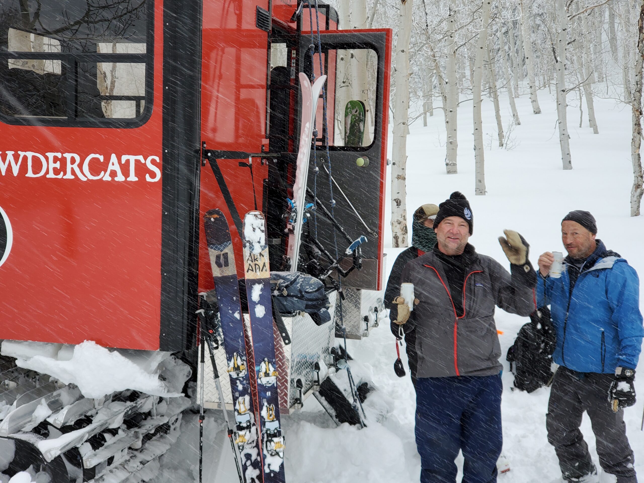
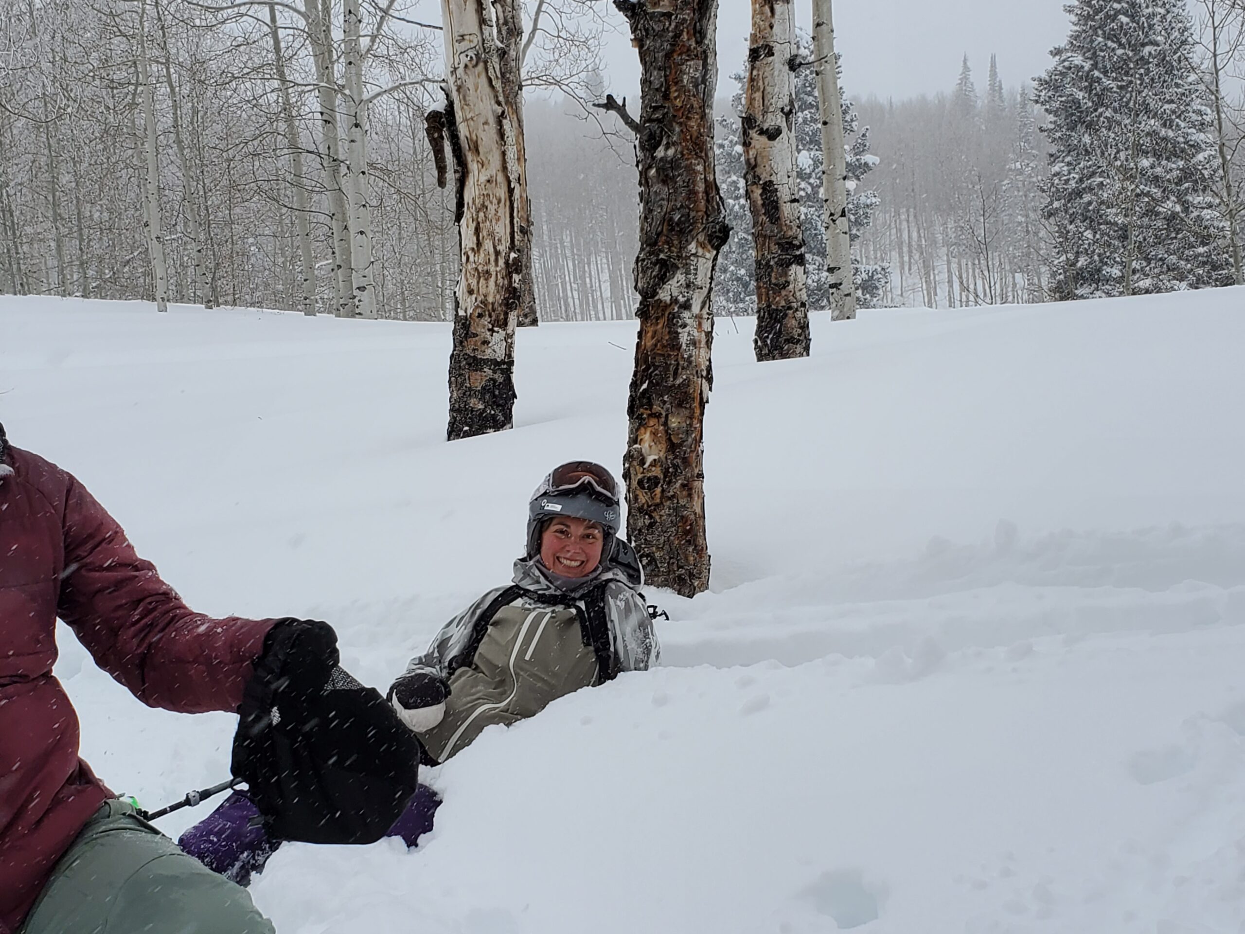
Snowcat from Dry Lake to Aspen Bowl ridge. Skied low angle laps off Dead Horse Point, Aspen Bowl, & End of the World.
Weather
Calm and overcast with temps near & above freezing. Precip rates up to 1″/hr in late PM. Dry Lake SNOTEL measured SWE48 1.7″ & HN48 7″ (high density snow). One large collapse on SSW slope 8400ft while hiking out of “End fo the World”.
HSN48
7"
Precip
S2 PM
Sky
OVC
Winds
Calm
Temps
33F